Taranaki Media Logo
Taranaki Media
Home
Stories
Events
Videos
Photos
Search (⌘K)
Light Mode
See & Do
    Eat & Drink
      Stay
        Local Directory

          Places.

          Mt Damper Falls Track

          Directions
          Mt Damper Falls Track

          Okau Rd & Mount Damper to Te Rerepahupahu Falls Track, Ahititi

          Walks & TrailsOpen Now
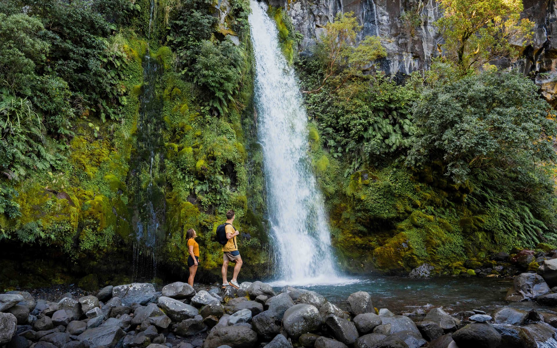
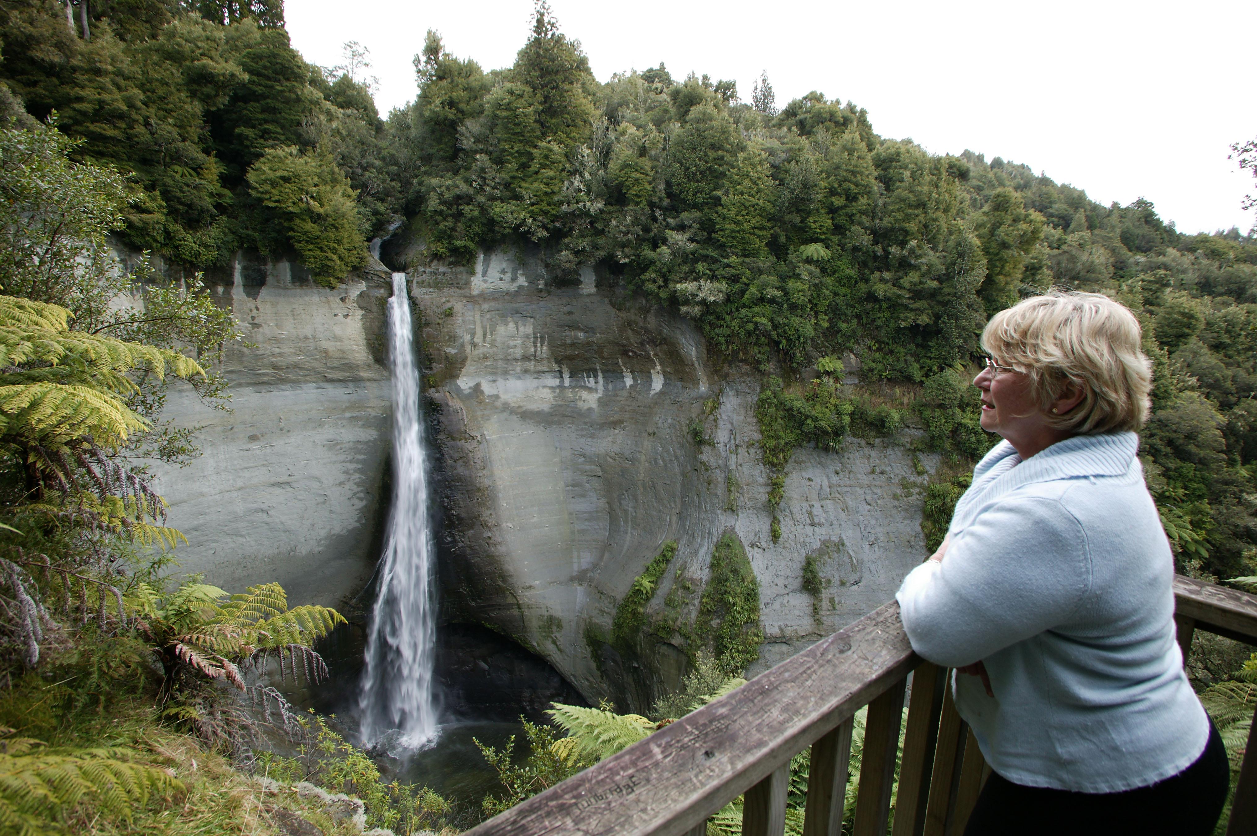
          Nestled in the northern Taranaki forests, just off the Forgotten World Highway, the 74m high Mt Damper Falls is one of the highest waterfalls in the North Island and is a must-see for travellers.

          The track has a firm user-friendly surface that suits a range of footwear and caters for all types of walkers.

          Climb the stair stile by the car park and walk over the formed track beside the creek. The first ten minutes is quite a smooth walk over open farmland.

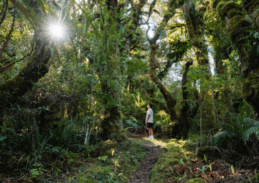
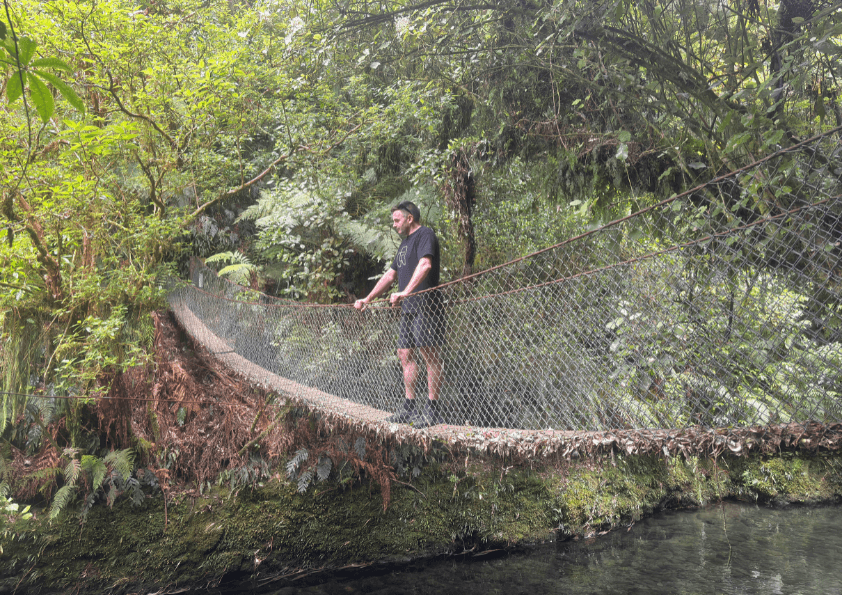
          Cross a steel beamed bridge into a lowland forest represented with rimu, tawa, silver beech, rewarewa and manuka.

          Meander your way along an evenly graded benched metal track. Along the way you will see the junction to the Mt Damper Track - do not take that track unless you want an eight-hour walk.

          From the first viewing platform you will get a view of the falls and valley. The track descends, gradually at first and then down some stairs, to the second viewing platform.

          This one offers a closer look at the falls and the plunge pool at the bottom. Return to the car park the same way.

          For further information contact New Plymouth, Stratford or South Taranaki i-SITE Visitor Centre, or view the downloadable brochures from our website.

          Contact

          Okau Rd & Mount Damper to Te Rerepahupahu Falls Track, Ahititi

          Hours

          Always Open

          Open 24/7

          This business is always open

          Location

          Get Directions
          drive Family Outdoors Walk New Plymouth Nature

          Leave a Review

          Your review will be published after approval by our team.

          More Places

          Cardiff Centennial Walkway
          Walks & Trails

          Cardiff Centennial Walkway

          Following the Waingongoro River at Cardiff, approximately 6km from Stratford, this is a pleasant 3km walkway through farmland and natural bush which gives access to points of local historical significance.

          622 Opunake Road, Cardiff
          Carrington Walkway
          Walks & Trails

          Carrington Walkway

          A looped urban and river bush walk encompassing native bush as well as introduced European and American species. Along the walkway discover some impressive views of Taranaki Maunga.

          1 Hakirau Street eastern end side of Bell Block Beach, Port, New Plymouth
          Curtis Falls Track
          Walks & Trails

          Curtis Falls Track

          Walk to Curtis Falls and enjoy a dip in the shallow pool beneath the falls. This track also leads to Maketawa Hut.

          Egmont Road, New Plymouth
          Dawson Falls
          Walks & Trails

          Dawson Falls

          This 250m one way track is an easy walk down a series of steps. Walk to the lookout point or the base of Dawson Falls/ Te Rere o Noke in Egmont National Park.

          Region
          Huatoki Walkway
          Walks & Trails

          Huatoki Walkway

          The 5km walkway follows the meandering Huatoki Stream from the city foreshore, winding through the city, parks, native bush and surrounding suburbs.

          Huatoki Walkway, New Plymouth
          Kamahi Loop Track ('Goblin Forest')
          Walks & Trails

          Kamahi Loop Track ('Goblin Forest')

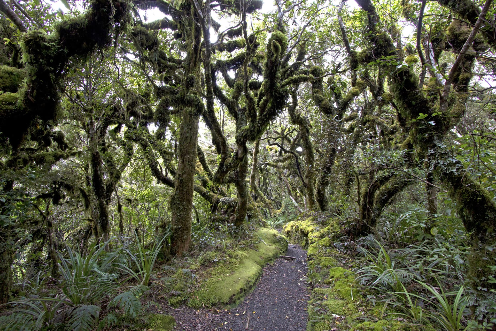
          Kamahi Loop Track, also known as Goblin Forest, is a magical walk through moss-draped trees and lush native bush on Taranaki Maunga, offering an enchanting rainforest experience for all ages.

          998 Pembroke Road West, Stratford, Egmont National Park
          Kapuni Loop Track
          Walks & Trails

          Kapuni Loop Track

          A pleasant drive to 900m above sea level on Taranaki Maunga/Mount Taranaki's south-eastern slopes brings you to the Dawson Falls road-end. This is the starting point for many walks on this side of the mountain. The Kapuni Loop track meanders its way down the right bank of the Kapuni River where alpine plant species can be found out of their vegetation zone due to water- and wind-borne seed distribution. Witness the river carving its way down the ancient lava flows to Dawson Falls/Te Rere o Noke.

          Lake Rotomanu
          Walks & Trails

          Lake Rotomanu

          Lake Rotomanu is a popular spot for watersports, walking and picnics.

          Clemow Road, Fitzroy, New Plymouth
          Lake Rotorangi Walkway
          Walks & Trails

          Lake Rotorangi Walkway

          This is an attractive, short (1.5km) lakeside loop-walk located at the southern end of Lake Rotorangi. The walkway crosses the 82m-high Pātea dam and through virgin bush filled with tawa and hīnau. A feature of the walkway is a grove of black beech or tawhairauriki, which flower in a burst of brilliant red in October and November. The campground located by the dam offers toilet facilities, showers, and tent sites.

          Patea Dam, Hurleyville
          View All Places