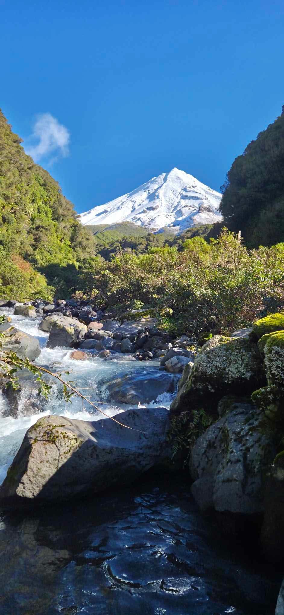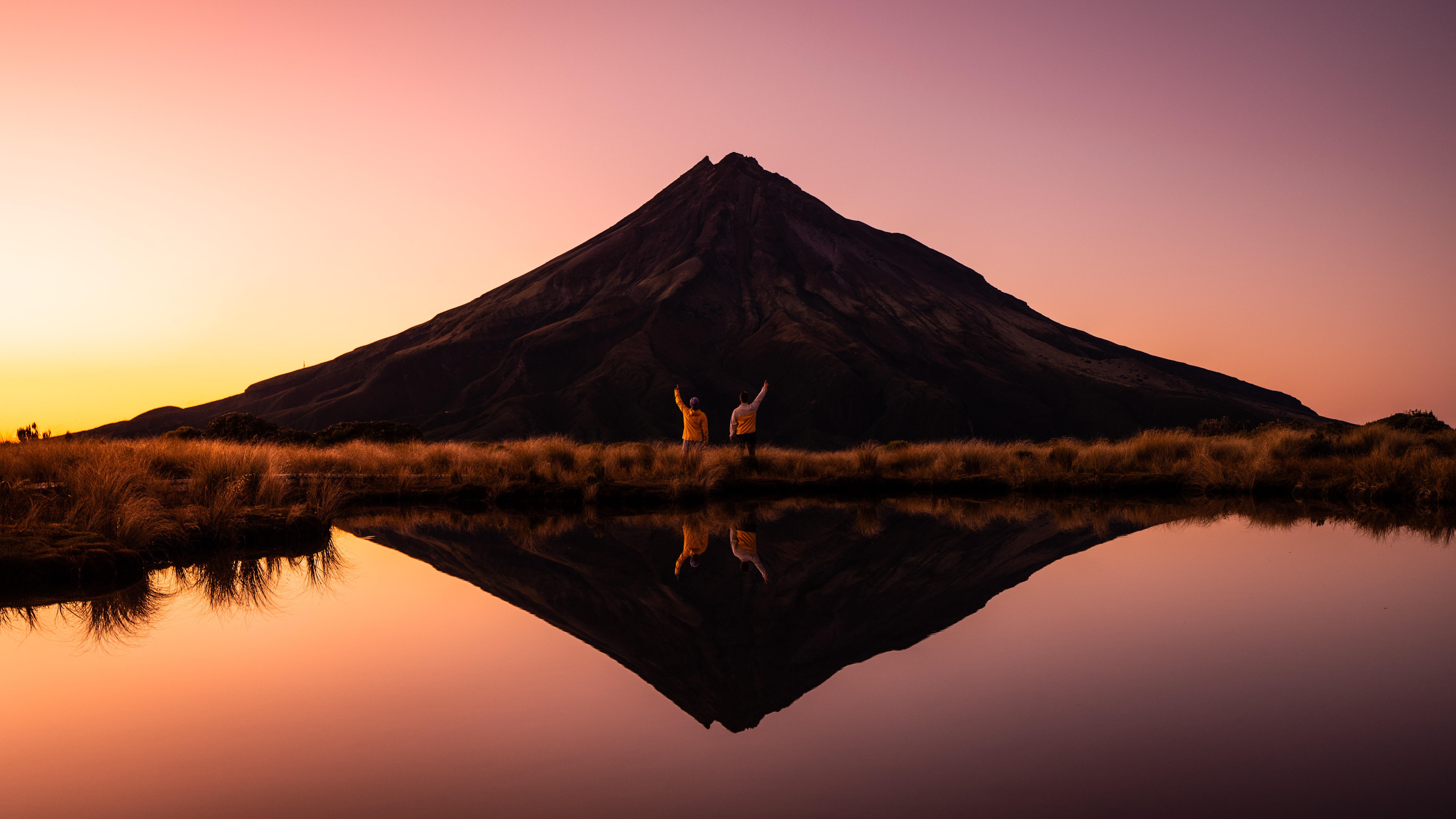
Enjoy great views of Taranaki Maunga out over the northern Taranaki countryside to the coast and inland to Mt Ruapehu. You’ll get close to the towering lava columns of the Dieffenbach Cliffs, cross the active erosion scar of the Boomerang Slip, and see the red water of the Kokowai Stream caused by manganese oxide oozing from the earth.
There’s an optional side trip to Stony River’s Bells Falls.
The Pouākai Crossing takes you through the fragile and haunting Ahukawakawa Swamp, then across the golden tussocks of the Pouākai Plateau to the famous tarns with their mirror reflections of Taranaki Maunga. You’ll finish your walk descending through the peaceful forest of the lower Pouākai Range.
TRANSPORT
The Pouākai Crossing starts at North Taranaki and finishes at Mangorei Road, at the Te Papa-kura-o-Taranaki boundary. This means you will either need to use a shuttle service or arrange your own transportation using two vehicles. If you leave a vehicle at Mangorei Road in the morning, park in the public car park located 200m before the end of the road. Toilet facilities are available at the car park. Do not take vehicles up the unsealed portion of Mangorei Road.
Need a shuttle service? Here are a few options:
Ducks and Drakes Taranaki Mountain Shuttle
SEASON
The best time of year to walk the Pouākai Crossing is from December to April. Although the route can be walked year-round, the higher parts can be affected by snow and ice in winter and spring. In particular, crossing the Boomerang Slip can be dangerous in icy conditions. There is an alternate route, using the Kokowai Track, which can avoid the Boomerang Slip.
In all seasons, check conditions with Metservice, DoC and/or the North Taranaki Visitor Centre before beginning your walk.
PREPARATION
The Pouākai Crossing is an 18.4km, seven to nine-hour adventure. You will require a good level of fitness to complete the walk safely and enjoyably.
Parts of the route can be wet and muddy underfoot during winter or after rain. You are strongly advised to wear waterproof footwear and appropriate clothing for the changeable alpine climate. Sections of the track and unbridged streams can become unpassable in winter due to heavy rain or snow and ice, so check with the North Taranaki Visitor Centre for current track conditions.
While there is mobile phone coverage in much of Te Papa-kura-o-Taranaki, there is no coverage in the middle third of the Pouākai Crossing in the enclosed basin, in and around the Ahukawakawa Wetland.
If you intend on staying at the Pouākai Hut to break up your hike you must book here before leaving.
GUIDING
Guiding and shuttle transport services are available on the Pouākai Crossing with Top Guides.
ABOUT
North Taranaki Visitor Centre to Holly Hut (Distance 6.9km, Time: 3-4 hours)
From the Camphouse, the well-formed track steadily climbs through montane forest and sub-alpine scrub. You’ll have excellent views of the Waiwhakaiho and Kokowai River gorges, Ahukawakawa Wetland and the upper slopes of Mt Taranaki as the Holly Hut Track gradually descends to cross the unbridged Minarapa Stream, and on to Holly Hut. There are fresh water and toilet facilities at Holly Hut.
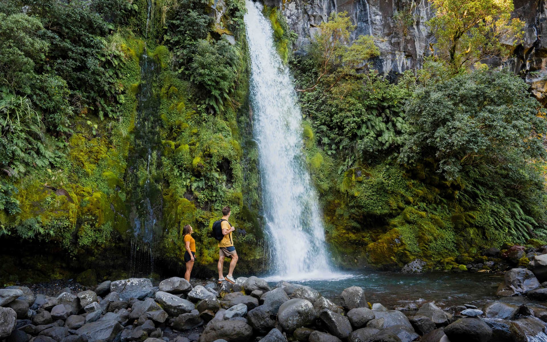
If you are a very fit tramper there is an optional trip to Bells Falls – you continue on from Holly Hut on the Bells Falls Track for around 30 minutes. The return to Holly Hut will take a little longer.
Holly Hut to Pouākai Hut (Distance 6.2km, Time: 2-3 hours)
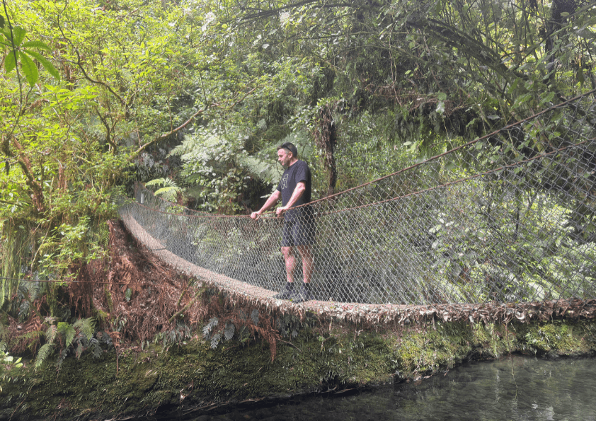
After your break at Holly Hut, walk back up the Holly Hut Track for five minutes to the junction with the Ahukawakawa Track. This track takes you across an extensive wetland. It crosses the Stony/Hangatahua River by bridge and ascends the ridge through sub-alpine mountain cedar. At the junction with the Pouākai Track turn right along the top of the Pouākai Range. Breathtaking views of the northern Taranaki coastline greet you at the top of the range.
At the junction with the Mangorei Track, turn right and continue on the Pouākai Track for around 10 minutes to the famous Pouākai Tarn. These are small alpine lakes where on clear and calm days there are magnificent reflections of Taranaki Maunga.
After your visit to the tarn, return to the junction with the Mangorei Track and descend down this track for five minutes to Pouākai Hut (currently closed for redevelopment). There are toilet facilities at Pouākai Hut. Bookings are essential here if you wish to stay overnight.
Pouākai Hut to Mangorei Road (Distance 5.3km, Time: 1 ½-2 hours)
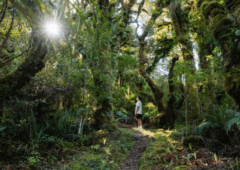
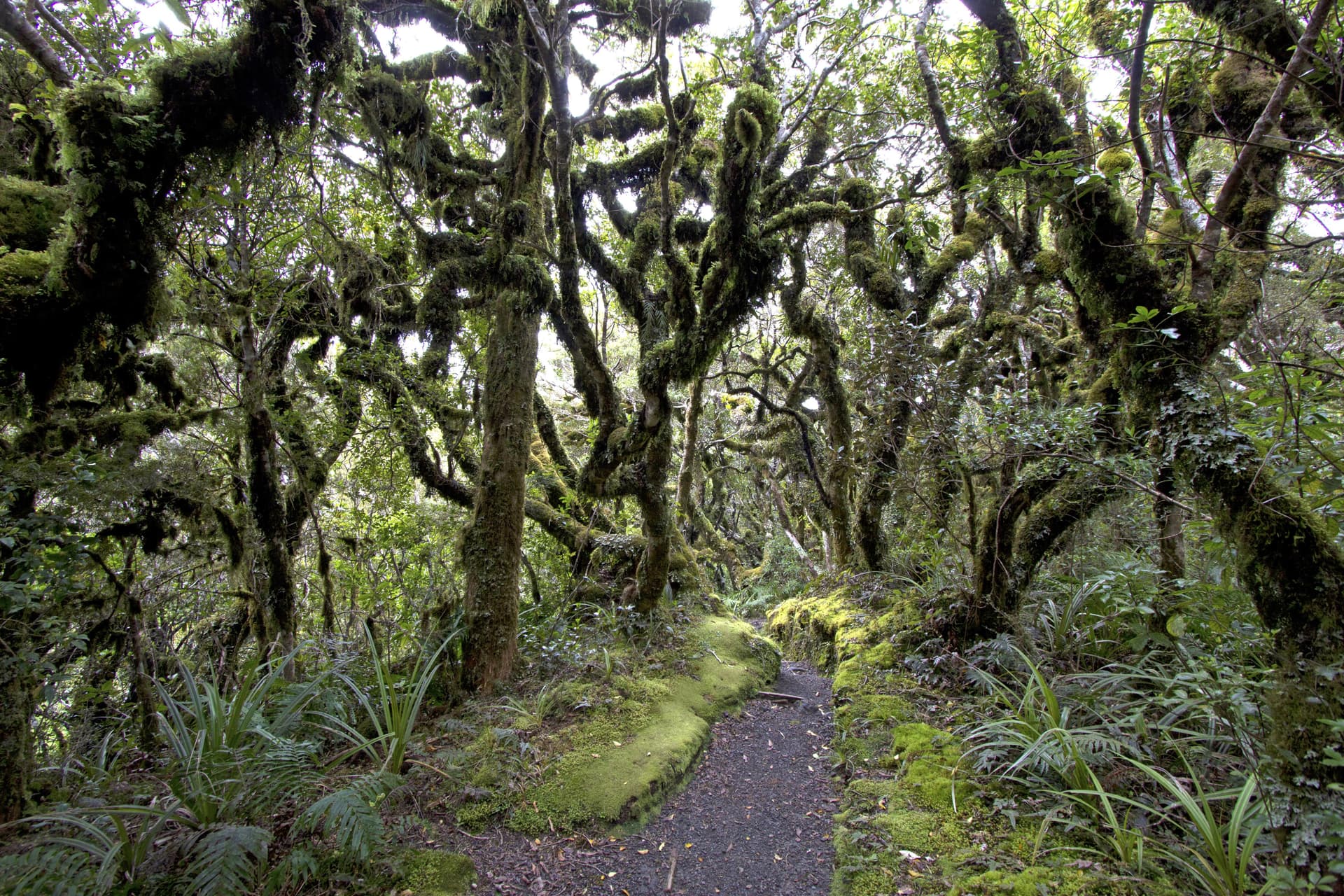
The Mangorei Track descends through mixed kāmahi forest to the park boundary at Mangorei Road. Continue walking until you get to the sealed road and the public carpark. Toilet facilities are available at this point.
Note: The North Taranaki Visitor Centre is currently under construction. Car parking is limited until December 2026. Large trucks will be using the road, so please drive carefully and expect occasional delays. We recommend carpooling or using a shuttle if you're planning a visit.