Taranaki Media Logo
Taranaki Media
Home
Stories
Events
Videos
Photos
Search (⌘K)
Light Mode
See & Do
    Eat & Drink
      Stay
        Local Directory

          Places.

          Ōpunakē Loop Trail

          DirectionsWebsite
          Ōpunakē Loop Trail

          Bowen Crescent, Ōpunake

          Walks & TrailsOpen Now 4.5
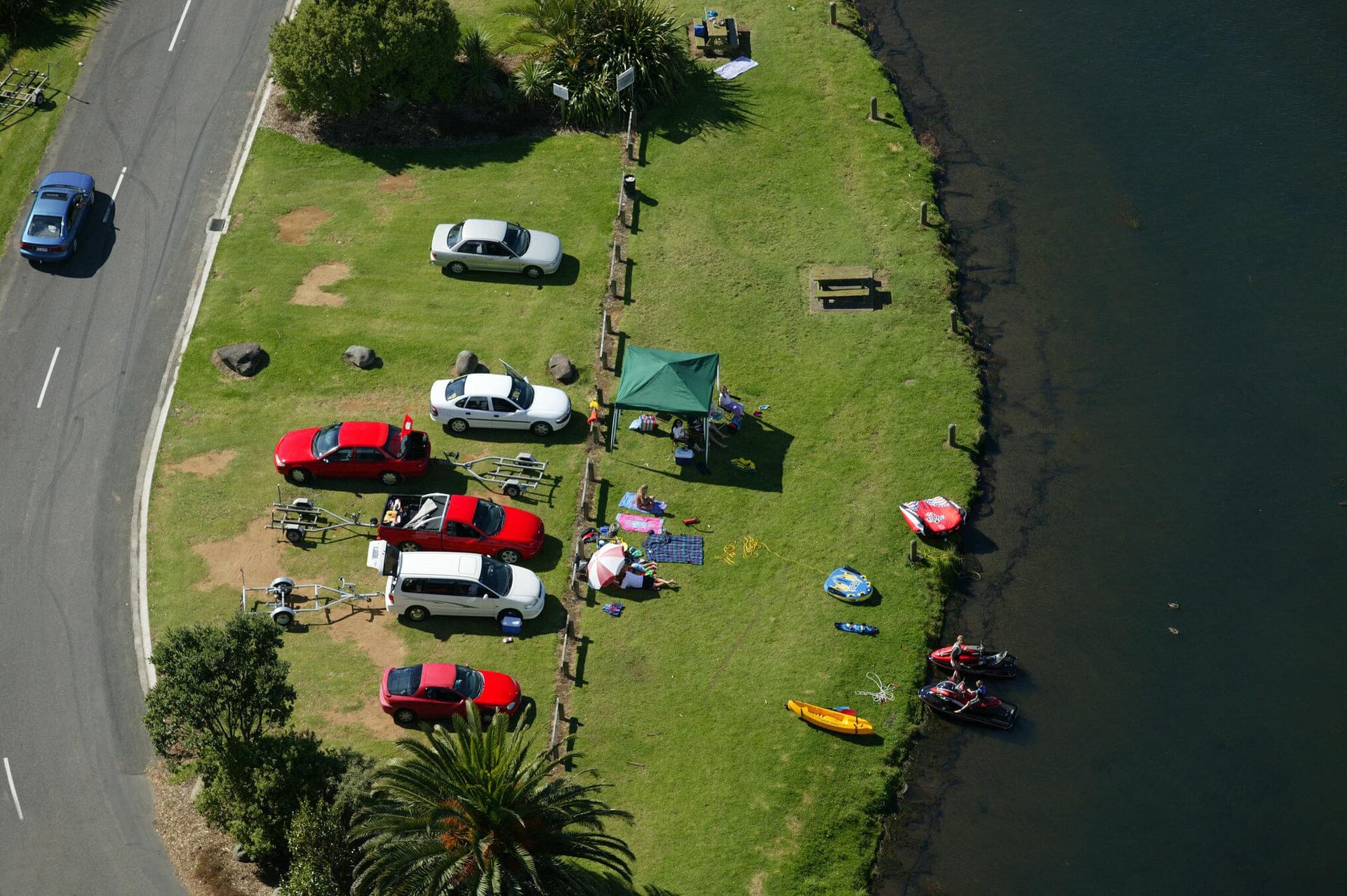
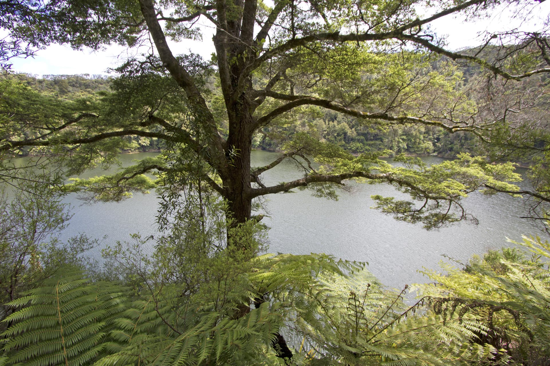
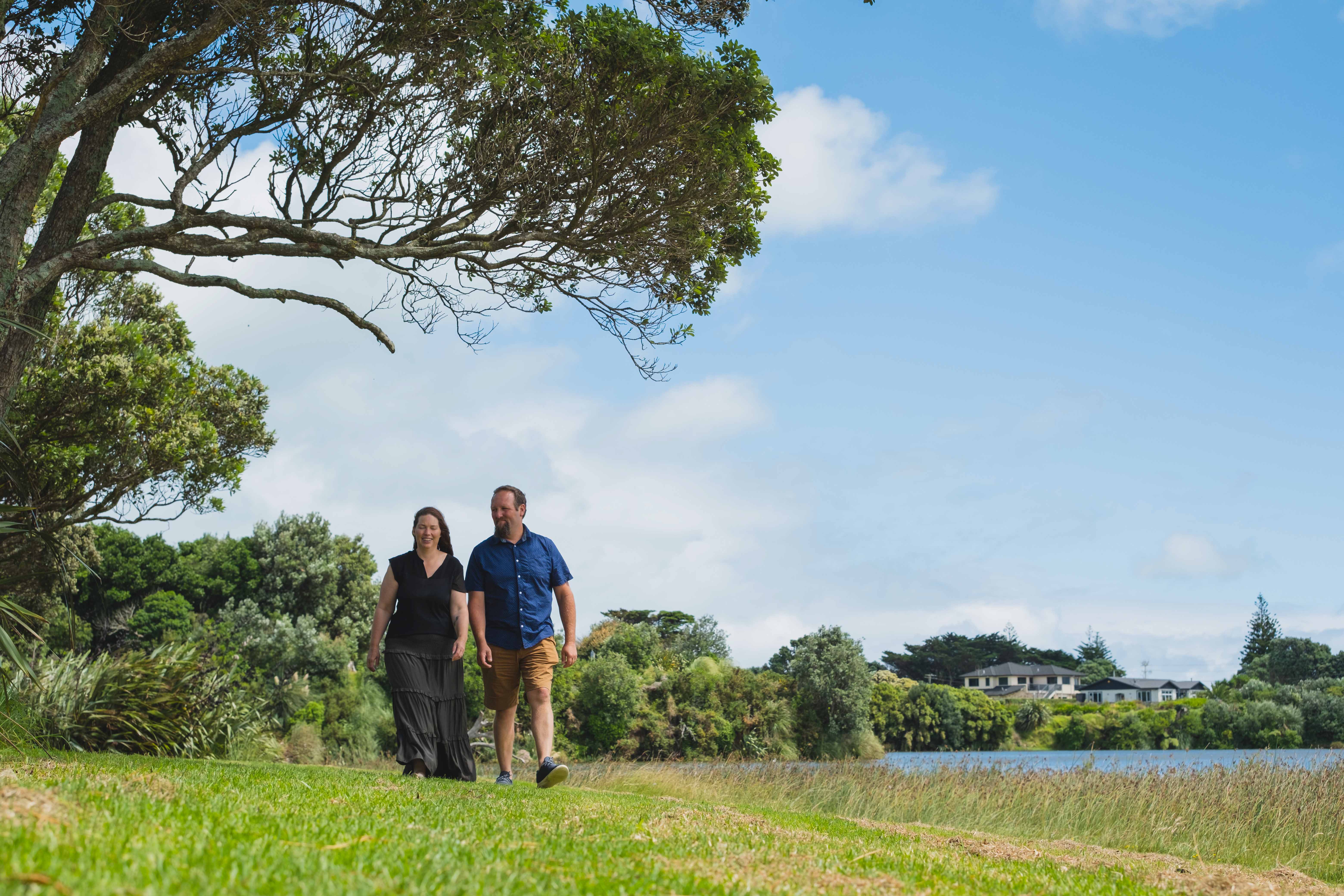
          The Ōpunakē Loop Trail is the longest of the formal South Taranaki walks and takes you through beautiful lake and beach scenery. It travels around Ōpunakē Lake (popular for boating, swimming and water skiing) and across Ōpunakē Walkway heads, providing views of Te Namu Pā, Taranaki Maunga and the coastline.

          The walk can be accessed from multiple starting points, but if you wish to complete the whole walk, the best place to begin is by the boat ramp by Ōpunakē Lake on Layard Street.

          Along the walk are many points of great historic and environmental interest, including:

          • Ōpunakē Lake is now used to provide hydroelectricity, but was once a vegetable garden supplying the Armed Constabulary and early settlers. There are public toilets here.
          • The Armed Constabulary Cemetery is located on the headland that juts into the lake. It has four historic headstones. The perimeters of the cemetery are unknown, but some cairns help estimate the cemetery boundaries.
          • The Orimupiko Cemetery is adjacent to the entrance to the Armed Constabulary Cemetery. It is located on a former pā.
          • Waiaua River Mouth is a must-stop location offering extraordinary views of Taranaki’s dynamic coastline.
          • The Cottage Hospital was the birthplace of many famous New Zealanders, including runner Peter Snell.
          • Ōpunakē Beach is an outstanding natural surf attraction that draws visitors and surfers from all over the world. A playground, barbecues, and picnic sites make for a family-friendly day out. Visitors can stay at the beach-front holiday park.
          • The Lion’s Lookout is located next to the ramp by the old wharf and offers clear views of the Taranaki Bight.
          • Middleton Bay has a boat ramp for easy launching, though it is not a safe swimming beach.
          • Te Namu Pā is visible from the northern end of the walkway and is an extremely important site in Taranaki. It was the location of a famous battle where Wiremu Kingi Matakatea repelled 800 Waikato Māori and successfully withstood a month-long siege armed with a single rifle. The best access to the site is via Ōpunake Cemetery and then over the Otahi Stream. Te Namu Pā is on private property. The owners and the Historic Places Trust ask that the area be treated with care and respect.

          There are comprehensive maps for your information at either end of the walk.

          For further information contact New Plymouth, Stratford or South Taranaki i-SITE Visitor Centre, or view the downloadable brochures from our website.
          Contact

          Bowen Crescent, Ōpunake
          opunakenz.co.nz/opunake-walkway
          Visit Website

          Hours

          Always Open

          Open 24/7

          This business is always open

          Location

          Get Directions
          Walk New Plymouth Nature Outdoors

          Leave a Review

          Your review will be published after approval by our team.

          More Places

          Cardiff Centennial Walkway
          Walks & Trails

          Cardiff Centennial Walkway

          Following the Waingongoro River at Cardiff, approximately 6km from Stratford, this is a pleasant 3km walkway through farmland and natural bush which gives access to points of local historical significance.

          622 Opunake Road, Cardiff
          Carrington Walkway
          Walks & Trails

          Carrington Walkway

          A looped urban and river bush walk encompassing native bush as well as introduced European and American species. Along the walkway discover some impressive views of Taranaki Maunga.

          1 Hakirau Street eastern end side of Bell Block Beach, Port, New Plymouth
          Curtis Falls Track
          Walks & Trails

          Curtis Falls Track

          Walk to Curtis Falls and enjoy a dip in the shallow pool beneath the falls. This track also leads to Maketawa Hut.

          Egmont Road, New Plymouth
          Dawson Falls
          Walks & Trails

          Dawson Falls

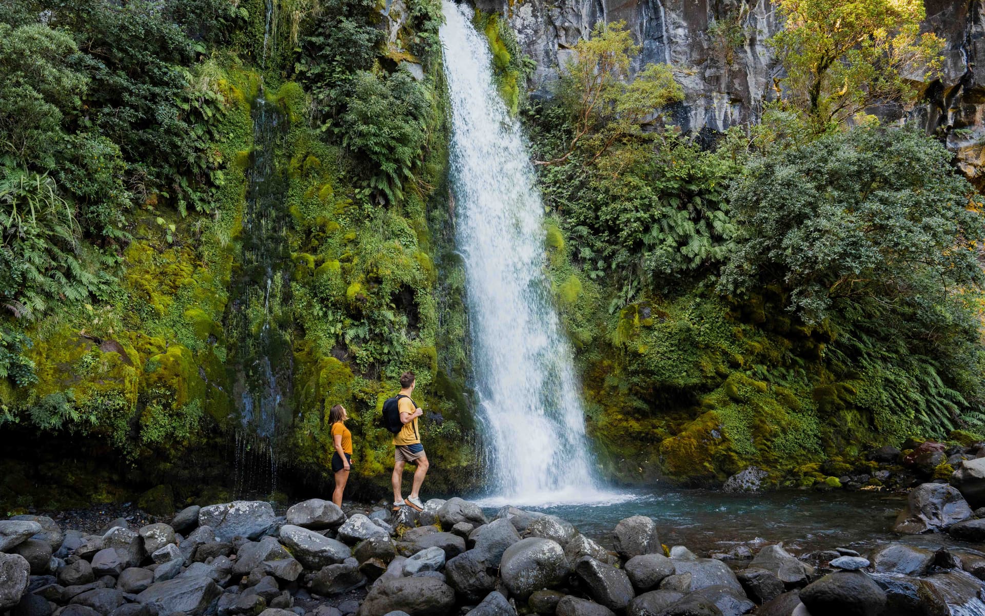
          This 250m one way track is an easy walk down a series of steps. Walk to the lookout point or the base of Dawson Falls/ Te Rere o Noke in Egmont National Park.

          Region
          Huatoki Walkway
          Walks & Trails

          Huatoki Walkway

          The 5km walkway follows the meandering Huatoki Stream from the city foreshore, winding through the city, parks, native bush and surrounding suburbs.

          Huatoki Walkway, New Plymouth
          Kamahi Loop Track ('Goblin Forest')
          Walks & Trails

          Kamahi Loop Track ('Goblin Forest')

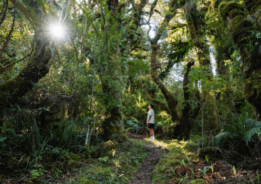
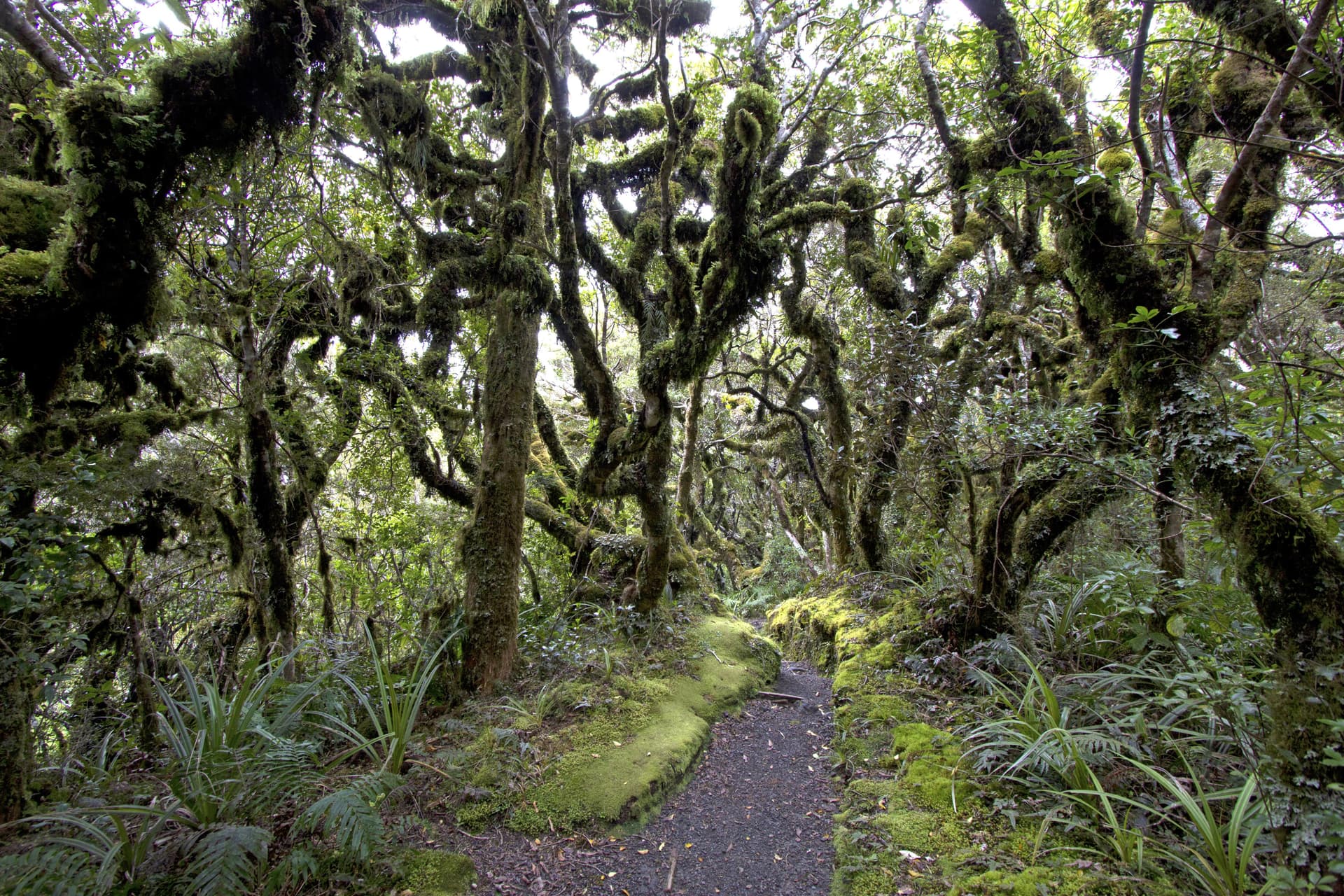
          Kamahi Loop Track, also known as Goblin Forest, is a magical walk through moss-draped trees and lush native bush on Taranaki Maunga, offering an enchanting rainforest experience for all ages.

          998 Pembroke Road West, Stratford, Egmont National Park
          Kapuni Loop Track
          Walks & Trails

          Kapuni Loop Track

          A pleasant drive to 900m above sea level on Taranaki Maunga/Mount Taranaki's south-eastern slopes brings you to the Dawson Falls road-end. This is the starting point for many walks on this side of the mountain. The Kapuni Loop track meanders its way down the right bank of the Kapuni River where alpine plant species can be found out of their vegetation zone due to water- and wind-borne seed distribution. Witness the river carving its way down the ancient lava flows to Dawson Falls/Te Rere o Noke.

          Lake Rotomanu
          Walks & Trails

          Lake Rotomanu

          Lake Rotomanu is a popular spot for watersports, walking and picnics.

          Clemow Road, Fitzroy, New Plymouth
          Lake Rotorangi Walkway
          Walks & Trails

          Lake Rotorangi Walkway

          This is an attractive, short (1.5km) lakeside loop-walk located at the southern end of Lake Rotorangi. The walkway crosses the 82m-high Pātea dam and through virgin bush filled with tawa and hīnau. A feature of the walkway is a grove of black beech or tawhairauriki, which flower in a burst of brilliant red in October and November. The campground located by the dam offers toilet facilities, showers, and tent sites.

          Patea Dam, Hurleyville
          View All Places