Taranaki Media Logo
Taranaki Media
Home
Stories
Events
Videos
Photos
Search (⌘K)
Light Mode
See & Do
    Eat & Drink
      Stay
        Local Directory

          Places.

          Taranaki Maunga Summit Track

          DirectionsWebsite
          Taranaki Maunga Summit Track

          Egmont Road

          Walks & TrailsClosed 4.6
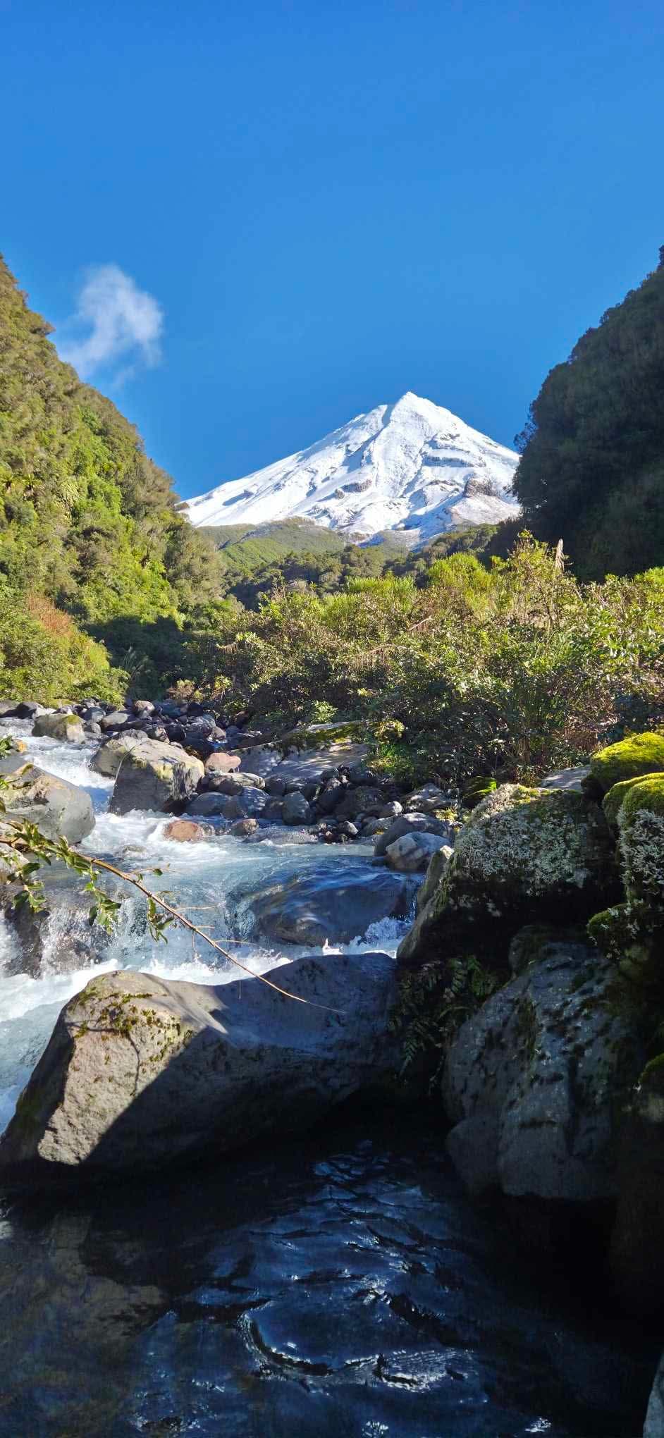
          This climb is the most spectacular and adventurous in Taranaki but it is not to be taken lightly – Taranaki Maunga/Mount Taranaki is more difficult and dangerous than it may appear. It should only be attempted in good weather by fit and experienced trampers with proper equipment. The best time to climb Taranaki Maunga is from February to mid-April when the slopes are bare of snow (though ice remains year-round in the crater). It takes eight to 10 hours to complete. In winter and spring, snow and ice on the slopes requires mountaineering experience and equipment, and a different route into the crater than described below. You are strongly advised not to climb in winter and spring conditions unless you have appropriate experience, equipment and knowledge of Taranaki Maunga. Before you climb, check the weather forecast at the Metservice and check the DoC website for any current information or alerts.

          The summer route

          The summit climb from North Taranaki takes eight to 10 hours to complete in summer conditions. It is best to start early – it is cooler and helps to ensure you don’t run out of daylight hours. There are also great views at sunrise.

          In summer the weather can still be very changeable, so be well prepared with the right gear:

          • Waterproof raincoat and leggings.
          • Sturdy footwear.
          • Warm clothing, gloves and hat.
          • Sunhat.
          • First aid kit.
          • Food and two to three litres of water (there is no drinking water on the route).
          • Cell phone, mountain radio, and/or personal locator beacon.
          • Walking poles (optional).
          • Putties/gaiters (optional).
          • Key Information & Features


            Before you leave, check in with DoC, make sure that someone is aware of your plans, and set a time for your return (you can use the Adventure Smart website). You are advised not to climb alone at any time of the year.

            Be prepared to turn back if weather or track conditions deteriorate or you are finding the climb too difficult. Remember

          • reaching the summit is only the halfway point, allow plenty of time to descend safely before nightfall.

            Note: The summit of Taranaki Maunga holds great cultural significance. Please respect this by not standing on the very highest point, or camping, eating or toileting in the summit area.

            From the North Taranaki Visitor Centre (978m) the Summit Track heads up the boardwalk past the historic Camphouse and onto Translator Road (also known as ‘The Puffer’).

            Approach the TV translator and Tahurangi Lodge (946m) after a tough walk of about one and a half hours to two hours, with about three to four hours still to go to the summit, sometimes longer. There is a public toilet 100m below the Lodge – this is your last toilet facility until you return later in the day. Please respect the mountain environment and remove all your own waste.

            At Tahurangi Lodge you will notice you have entered the alpine zone where tussocks and mosses struggle for survival at this exposed altitude.

            On clear days the views are expansive over the blue Tasman Sea, the lush pasture checkerboard of North and South Taranaki and the snow
          • capped volcanoes of the Central North Island.

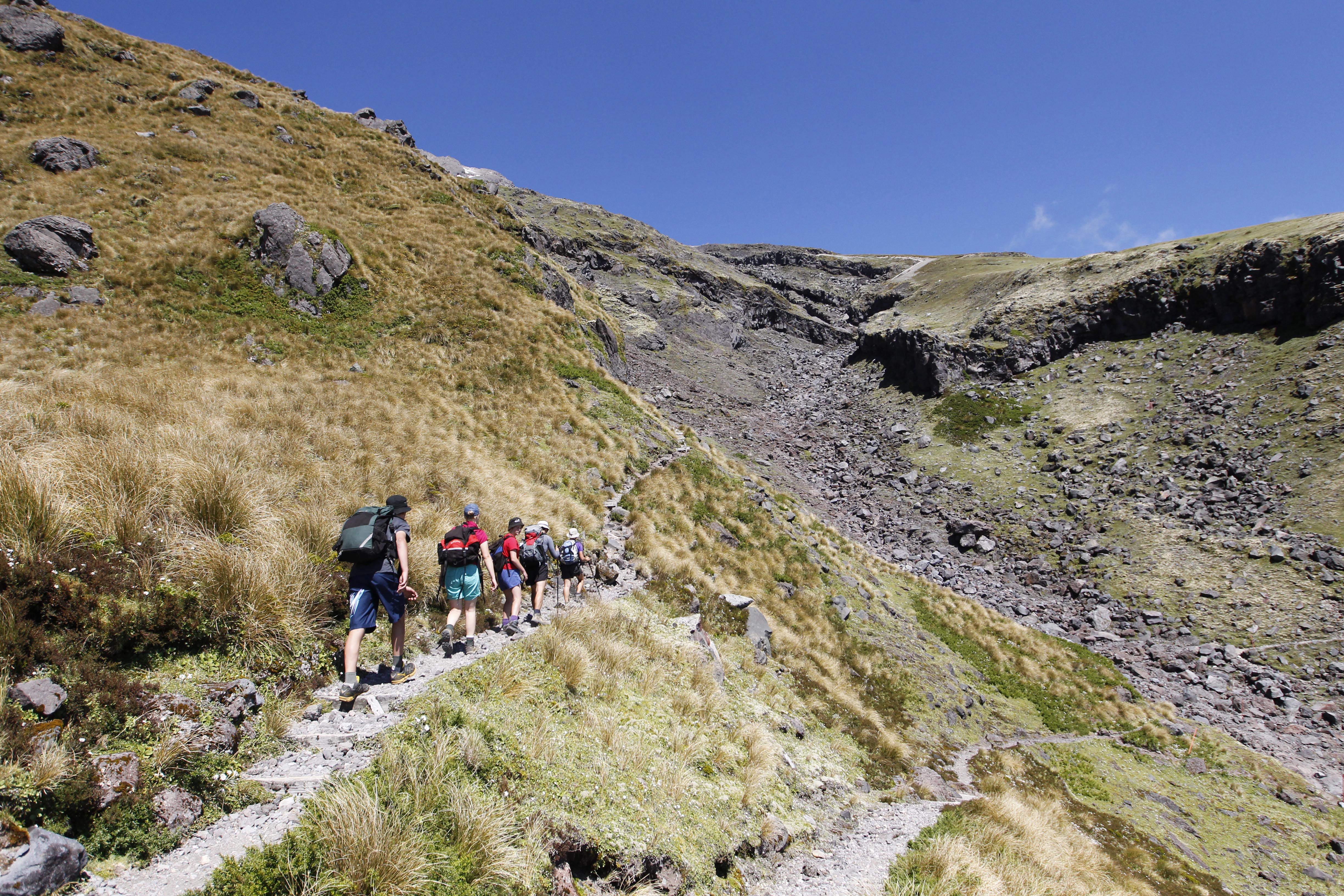
            Continue past Tahurangi Lodge, cross the Around the Mountain Track into Hongi’s Valley. Climb the many stairways to the scoria zigzag track on the poled route. This track takes you to a rock lava flow called the Lizard (2,314m). When the rocks emerge from the snow in the late spring, this flow begins to look like a lizard.

            Take care not to dislodge rocks as you climb higher. Rocks gather speed as they bounce down the mountain and can be extremely dangerous for climbers following your path.

            Climbing up the Lizard takes you to the summer entrance into the crater. This entrance is normally passable in summer but is very icy and dangerous in winter and spring, and even sometimes in early summer.

            Once in the crater, which has ice in it year
          • round, climb the short steep slope to reach the summit rocks. Please respect the spiritual significance to Māori of this mighty ancestor by not standing on the very highest point.

            From the summit area most of the mountain features are visible. Look south to Fanthams Peak (Panitahi) and out to the Kaikōura Range in the South Island. Look west over the collapsed crater rim to the Turtle, the rocky feature that from some aspects has a broad turtle
          • like back. Look down the eroding western slopes to the lahar
          • covered farmland.

            To the north you’ll look down to the Ahukawakawa Swamp nestled under the Pouākai Range and out to the extinct volcanic succession of the Kaitake Range, the Sugar Loaf Islands and Paritutu Rock at New Plymouth.

            Look east, over the crater to the Shark’s Tooth, to the very top of the East Ridge. The town of Stratford sits to the east and further on are the vast lowland forests of the Matemateāonga and Waitaanga Ranges with the volcanoes of the Tongariro National Park visible on the horizon.

            The descent is usually quicker (two to three hours) and a rest and afternoon tea at the North Taranaki Visitor Centre are just rewards.
          • Note: The North Taranaki Visitor Centre is currently under construction. Car parking is limited until December 2026. Large trucks will be using the road, so please drive carefully and expect occasional delays. We recommend carpooling or using a shuttle if you're planning a visit.


            The winter route

            In most cases it is not advisable to climb to the summit during the winter and spring months.

            Before you go, watch this informative video of what to expect.
          Contact

          Egmont Road
          doc.govt.nz/footer-links/contact-us/visitor-centres
          Visit Website

          Hours

          Closed
          Monday8:30am – 3:30pm
          Tuesday8:30am – 3:30pm
          Wednesday(Today)8:30am – 3:30pm
          Thursday8:30am – 3:30pm
          Friday8:30am – 3:30pm
          Saturday8:30am – 3:30pm
          Sunday8:30am – 3:30pm

          Location

          Get Directions
          Hike Outdoors New Plymouth Nature Walk

          Leave a Review

          Your review will be published after approval by our team.

          More Places

          Cardiff Centennial Walkway
          Walks & Trails

          Cardiff Centennial Walkway

          Following the Waingongoro River at Cardiff, approximately 6km from Stratford, this is a pleasant 3km walkway through farmland and natural bush which gives access to points of local historical significance.

          622 Opunake Road, Cardiff
          Carrington Walkway
          Walks & Trails

          Carrington Walkway

          A looped urban and river bush walk encompassing native bush as well as introduced European and American species. Along the walkway discover some impressive views of Taranaki Maunga.

          1 Hakirau Street eastern end side of Bell Block Beach, Port, New Plymouth
          Curtis Falls Track
          Walks & Trails

          Curtis Falls Track

          Walk to Curtis Falls and enjoy a dip in the shallow pool beneath the falls. This track also leads to Maketawa Hut.

          Egmont Road, New Plymouth
          Dawson Falls
          Walks & Trails

          Dawson Falls

          This 250m one way track is an easy walk down a series of steps. Walk to the lookout point or the base of Dawson Falls/ Te Rere o Noke in Egmont National Park.

          Region
          Huatoki Walkway
          Walks & Trails

          Huatoki Walkway

          The 5km walkway follows the meandering Huatoki Stream from the city foreshore, winding through the city, parks, native bush and surrounding suburbs.

          Huatoki Walkway, New Plymouth
          Kamahi Loop Track ('Goblin Forest')
          Walks & Trails

          Kamahi Loop Track ('Goblin Forest')

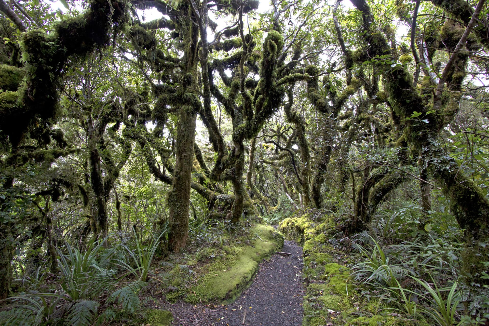
          Kamahi Loop Track, also known as Goblin Forest, is a magical walk through moss-draped trees and lush native bush on Taranaki Maunga, offering an enchanting rainforest experience for all ages.

          998 Pembroke Road West, Stratford, Egmont National Park
          Kapuni Loop Track
          Walks & Trails

          Kapuni Loop Track

          A pleasant drive to 900m above sea level on Taranaki Maunga/Mount Taranaki's south-eastern slopes brings you to the Dawson Falls road-end. This is the starting point for many walks on this side of the mountain. The Kapuni Loop track meanders its way down the right bank of the Kapuni River where alpine plant species can be found out of their vegetation zone due to water- and wind-borne seed distribution. Witness the river carving its way down the ancient lava flows to Dawson Falls/Te Rere o Noke.

          Lake Rotomanu
          Walks & Trails

          Lake Rotomanu

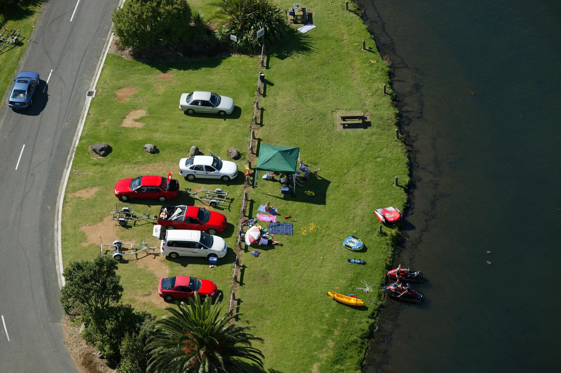
          Lake Rotomanu is a popular spot for watersports, walking and picnics.

          Clemow Road, Fitzroy, New Plymouth
          Lake Rotorangi Walkway
          Walks & Trails

          Lake Rotorangi Walkway

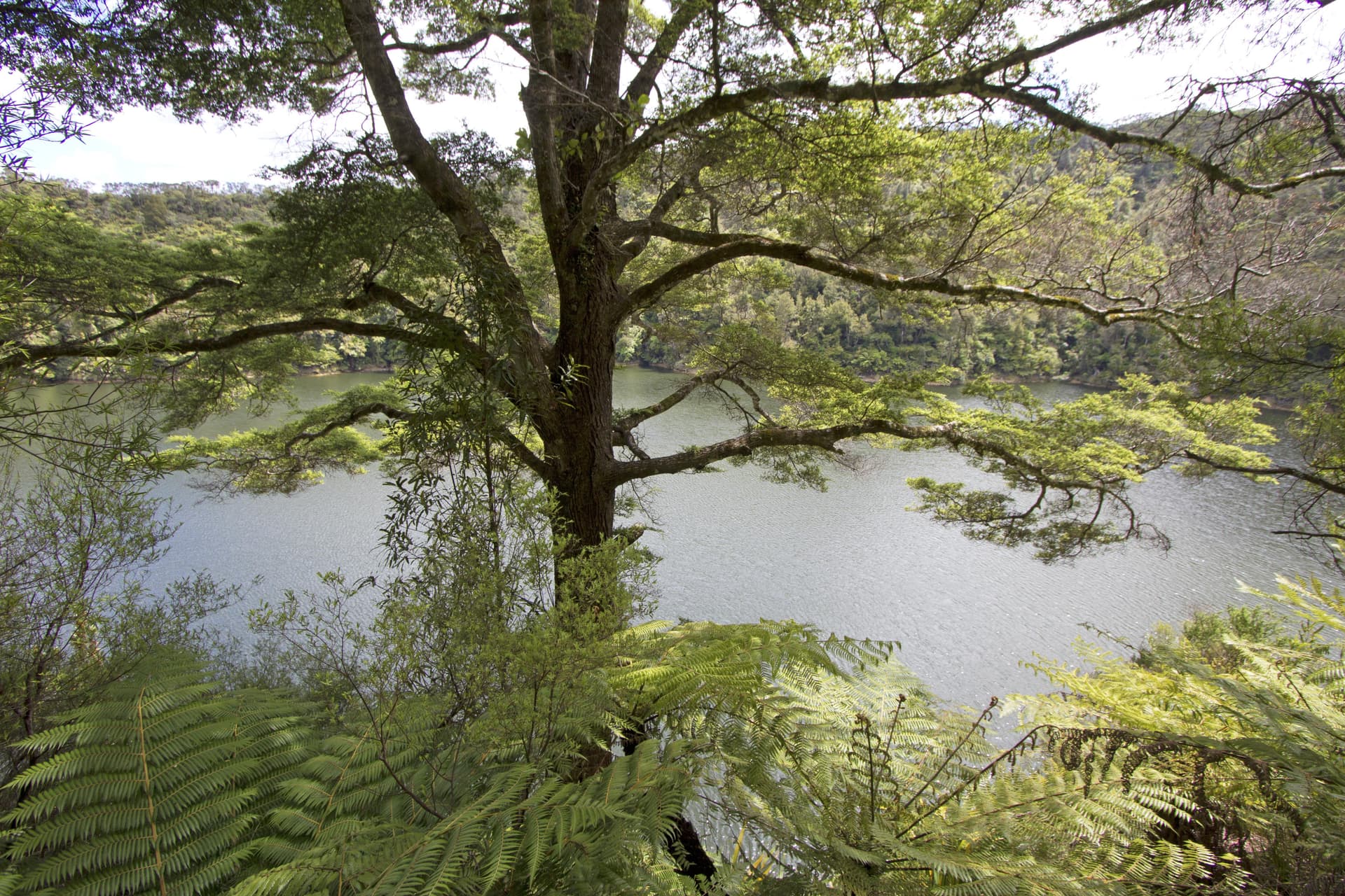
          This is an attractive, short (1.5km) lakeside loop-walk located at the southern end of Lake Rotorangi. The walkway crosses the 82m-high Pātea dam and through virgin bush filled with tawa and hīnau. A feature of the walkway is a grove of black beech or tawhairauriki, which flower in a burst of brilliant red in October and November. The campground located by the dam offers toilet facilities, showers, and tent sites.

          Patea Dam, Hurleyville
          View All Places