Taranaki Media Logo
Taranaki Media
Home
Stories
Events
Videos
Photos
Search (⌘K)
Light Mode
See & Do
    Eat & Drink
      Stay
        Local Directory

          Places.

          Waitara Heritage Trail

          DirectionsWebsite
          Waitara Heritage Trail

          Waitara

          Walks & TrailsOpen Now 5
          Uncover the stories of Waitara as you make your way from Marine Park on the coast to Waitara CBD, following the Waitara river on this unique eel-themed walkway.

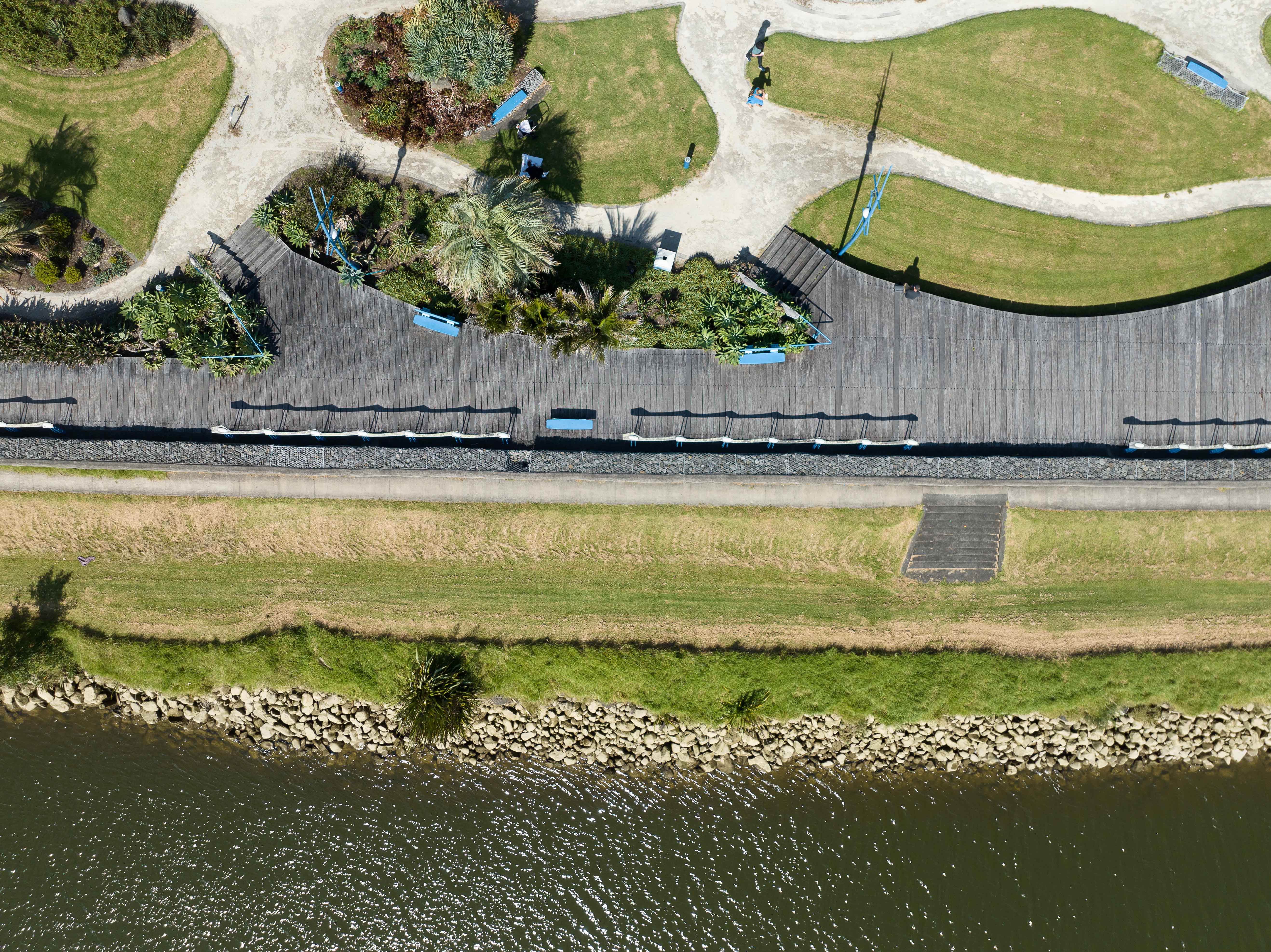
          The Waitara Heritage Trail follows the Waitara River from West Quay in the CBD to Marine Park, near the mouth of the river. The Wetland Boardwalk is a community walkway that reflects the surrounding environment’s heritage.

          Grade: Easy
          Distance: 1.7km

          Waitara has a rich history and many stories that are worth exploring. The countryside around Waitara is scattered with evidence of fortifications, reflecting a period of human occupation over many hundreds of years.

          With European settlement in North Taranaki occurring from 1841, conflict began to arise over the colonists’ attempt to gain land for cultivation. This culminated in the first Taranaki War in 1860-61. The town (then known as Raleigh) came into being, with borough status achieved in 1904 when the name reverted to Waitara.

          Points of interest to look out for:

          • Te Roimata O Te Atiawa is a stone that commemorates Wiremu Kingi Te Rangitāke, a paramount chief of Te Atiawa at the time of the first Taranaki War in 1860-61.
          • The Bridges of Waitara Bridging the Waitara River was a major challenge in early settler days, but in 1871 the first pile of a bridge was driven in.
          • Carved Panels 10 carved panels are located on the boardwalk representing the flora and fauna of Waitara.
          • Ruamano This stone is dedicated to the many workers who (since 1880) have worked in the meat processing plant originally near this site.
          • Waitara Pill Box The Home Guard (formed during World War II) used this to defend the area of coast between Waipapa Stream to Waiongana River.
          • The Works Wharves In the 1890s two small wharves were built to service the growing freezing works industry.
          • Railway Signal Box This originated in Stratford but was brought to Waitara in 1960 to serve as a club house for the Waitara Boating Club.
          • River Fords These were utilised by travellers in the early days of settlement.
          • Hurirapa Pā This was the only pā of four in the district that was not destroyed in the first Taranaki War.
          • The Return Port In 1848 Wiremu Kingi Te Rangitāke and followers returned home to occupy four new pā on the western side of the river.
          • The Waitara Blockhouse Kuhikuhi Pā was erected here in 1848 but was destroyed in 1860 to build a blockhouse at the beginning of the first war. The harbour pilot’s house and signal box (c.1880) remain here.
          • Pukekohe Originally built as a village before 1700, Pukekohe was defended by ditches, banks and palisades.
          • Rose Garden This garden commemorates the late Mr Bob Donaldson for his long service to Waitara as a borough councillor.
          • The Railway The New Plymouth to Waitara railway was opened in 1875 to link New Plymouth with the nearest sheltered port.
          • Memorial Cenotaph This monument commemorates the 78 servicemen from Waitara District who fell in the two World Wars.
          • Aorangi Pā For several hundred years a fortified pā and settlement occupied this bluff.
          Contact

          Waitara
          npdc.govt.nz/leisure-and-culture/riding-and-walking/waitara-heritage-trail
          Visit Website

          Hours

          Always Open

          Open 24/7

          This business is always open

          Location

          Get Directions
          Family Outdoors Walk Waitara Nature

          Leave a Review

          Your review will be published after approval by our team.

          More Places

          Cardiff Centennial Walkway
          Walks & Trails

          Cardiff Centennial Walkway

          Following the Waingongoro River at Cardiff, approximately 6km from Stratford, this is a pleasant 3km walkway through farmland and natural bush which gives access to points of local historical significance.

          622 Opunake Road, Cardiff
          Carrington Walkway
          Walks & Trails

          Carrington Walkway

          A looped urban and river bush walk encompassing native bush as well as introduced European and American species. Along the walkway discover some impressive views of Taranaki Maunga.

          1 Hakirau Street eastern end side of Bell Block Beach, Port, New Plymouth
          Curtis Falls Track
          Walks & Trails

          Curtis Falls Track

          Walk to Curtis Falls and enjoy a dip in the shallow pool beneath the falls. This track also leads to Maketawa Hut.

          Egmont Road, New Plymouth
          Dawson Falls
          Walks & Trails

          Dawson Falls

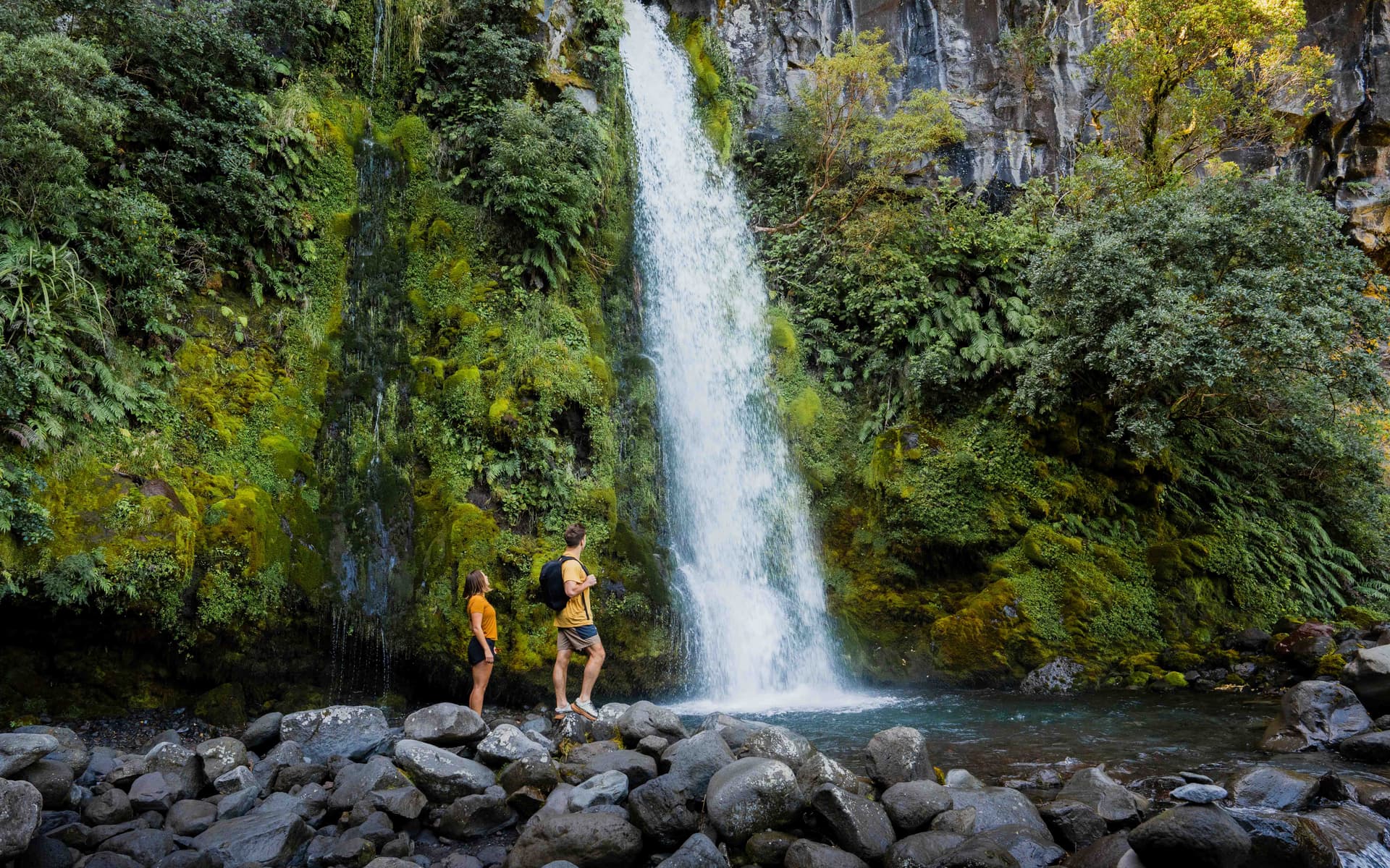
          This 250m one way track is an easy walk down a series of steps. Walk to the lookout point or the base of Dawson Falls/ Te Rere o Noke in Egmont National Park.

          Region
          Huatoki Walkway
          Walks & Trails

          Huatoki Walkway

          The 5km walkway follows the meandering Huatoki Stream from the city foreshore, winding through the city, parks, native bush and surrounding suburbs.

          Huatoki Walkway, New Plymouth
          Kamahi Loop Track ('Goblin Forest')
          Walks & Trails

          Kamahi Loop Track ('Goblin Forest')

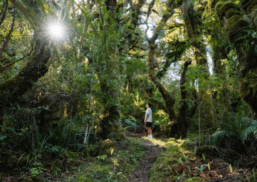
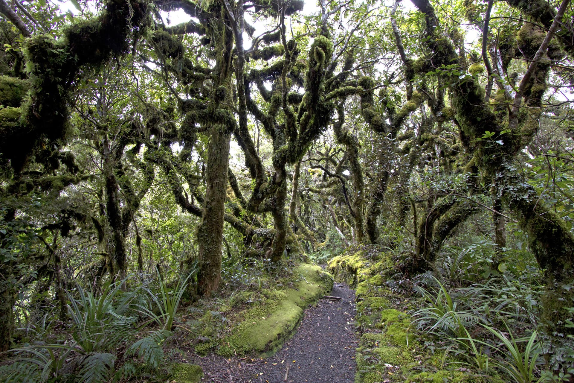
          Kamahi Loop Track, also known as Goblin Forest, is a magical walk through moss-draped trees and lush native bush on Taranaki Maunga, offering an enchanting rainforest experience for all ages.

          998 Pembroke Road West, Stratford, Egmont National Park
          Kapuni Loop Track
          Walks & Trails

          Kapuni Loop Track

          A pleasant drive to 900m above sea level on Taranaki Maunga/Mount Taranaki's south-eastern slopes brings you to the Dawson Falls road-end. This is the starting point for many walks on this side of the mountain. The Kapuni Loop track meanders its way down the right bank of the Kapuni River where alpine plant species can be found out of their vegetation zone due to water- and wind-borne seed distribution. Witness the river carving its way down the ancient lava flows to Dawson Falls/Te Rere o Noke.

          Lake Rotomanu
          Walks & Trails

          Lake Rotomanu

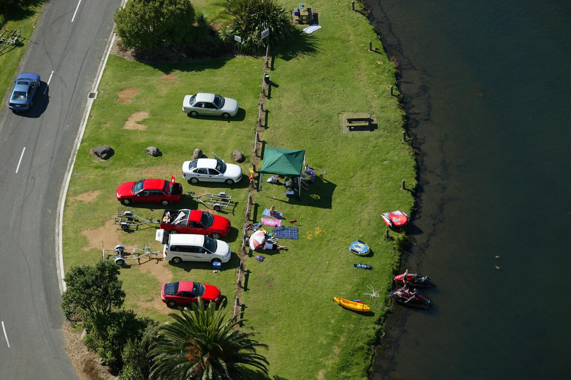
          Lake Rotomanu is a popular spot for watersports, walking and picnics.

          Clemow Road, Fitzroy, New Plymouth
          Lake Rotorangi Walkway
          Walks & Trails

          Lake Rotorangi Walkway

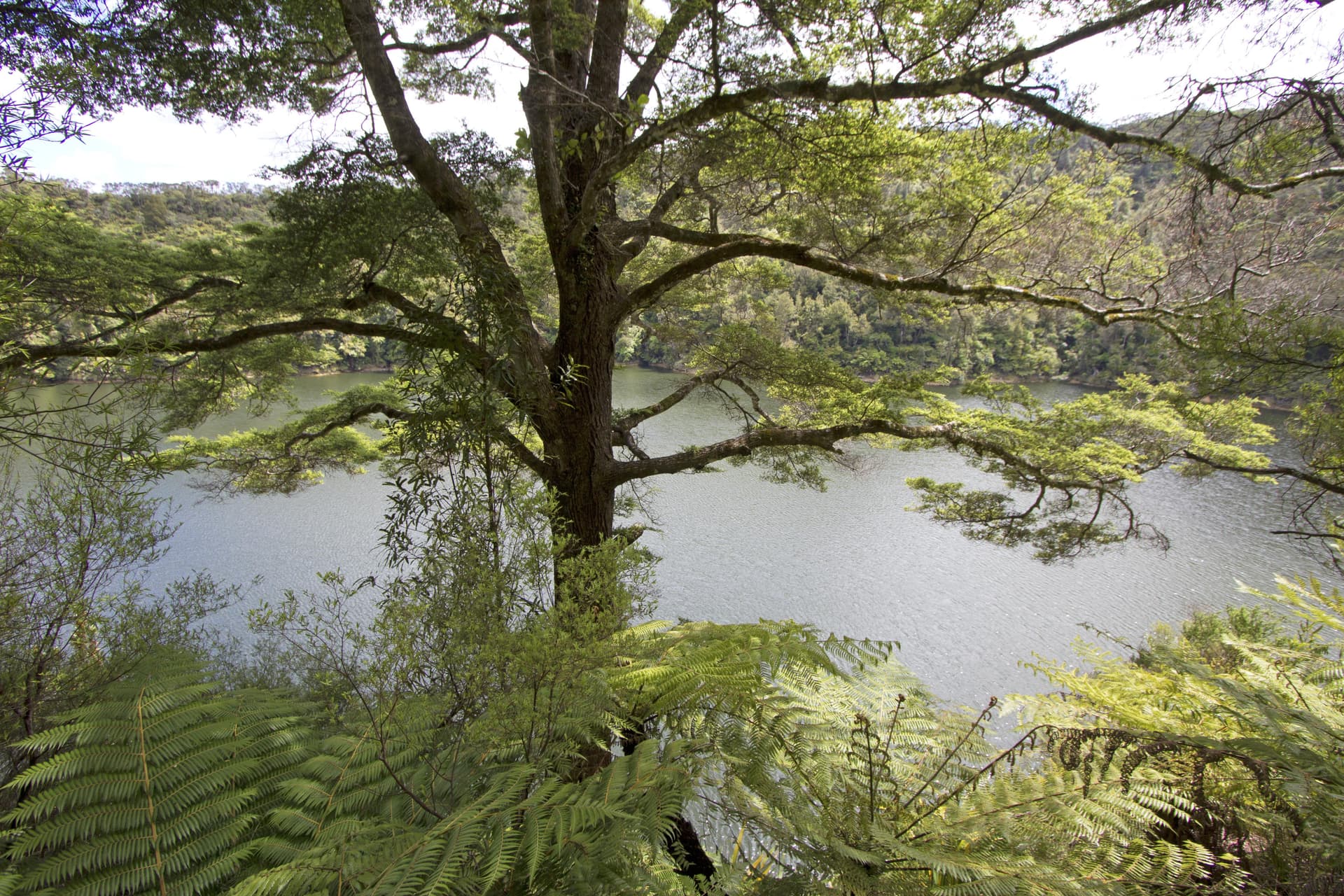
          This is an attractive, short (1.5km) lakeside loop-walk located at the southern end of Lake Rotorangi. The walkway crosses the 82m-high Pātea dam and through virgin bush filled with tawa and hīnau. A feature of the walkway is a grove of black beech or tawhairauriki, which flower in a burst of brilliant red in October and November. The campground located by the dam offers toilet facilities, showers, and tent sites.

          Patea Dam, Hurleyville
          View All Places