Taranaki Media Logo
Taranaki Media
Home
Stories
Events
Videos
Photos
Search (⌘K)
Light Mode
See & Do
    Eat & Drink
      Stay
        Local Directory

          Places.

          Whitecliffs Walkway

          DirectionsWebsite
          Whitecliffs Walkway

          Gilbert Road, Waiiti

          Walks & TrailsClosed 4.5
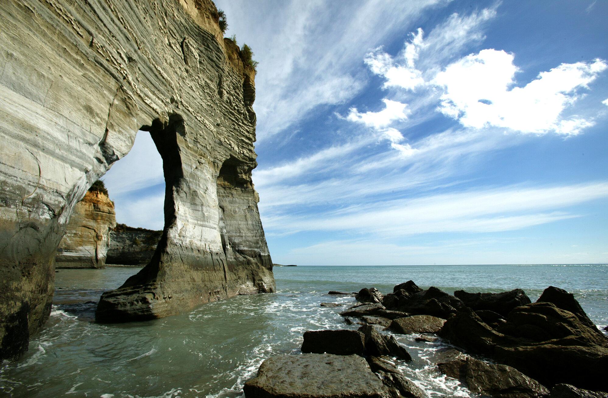
          This walkway takes in the stunning views of the dramatic Whitecliffs, and the protected Parininihi Marine Reserve. It crosses private land and is closed to access from 1 July to 30 September for lambing and other farm-related work.

          Begin at the Pukearuhe boat ramp at the end of Pukearuhe Road. It’s just north of Urenui and near the clifftop site of an old redoubt and military settlement. When parking, ensure you allow access to the ramp and farm. From the car park, follow the signs to the clifftop track.

          The round trip is 6.5km but be aware of the tide times. There are no exit points along this beach until you are back at the boat ramp.

          Key points of interest include:

          • Open farmland (which is privately owned so ensure you respect the land and close all gates you open) to Mt Davidson.
          • The old Kapuni to Auckland gas pipeline route along the ridge tops.
          • Wai Pingao Stream where you can follow the stream to the coast and walk south along the beach back to Pukearuhe.

          For your own safety, do not attempt to walk unless you can reach Pukearuhe no later than two hours after low tide.

          Please also note that there has been active and substantial cliff erosion along the beach section. Extreme caution is urged as rocks are prone to fall.

          • Off the coast is the Parininihi Marine Reserve, home to a variety of fish species, large lobster populations and a colourful tangle of exotic sponges.
          • Anglers can surfcast from the beach south of the Wai Pingao Stream, but the beach to the north is part of the reserve.

          The walkway continues to the Parininihi trig and then descends to the junction of the Mt Messenger Track leading to State Highway 3. This option is 11km (up to 7 hours).

          For further information contact New Plymouth, Stratford or South Taranaki i-SITE Visitor Centre, or view the downloadable brochures from our website.
          Contact

          Gilbert Road, Waiiti
          doc.govt.nz/parks-and-recreation/places-to-go/taranaki/places/white-cliffs-and-mount-messenger-conservation-area/things-to-do/whitecliffs-walkway
          Visit Website

          Hours

          Closed
          MondayClosed
          TuesdayClosed
          Wednesday(Today)Closed
          ThursdayClosed
          FridayClosed
          SaturdayClosed
          Sunday12am – 11:59pm

          Location

          Get Directions
          New Plymouth Nature Walk Outdoors

          Leave a Review

          Your review will be published after approval by our team.

          More Places

          Cardiff Centennial Walkway
          Walks & Trails

          Cardiff Centennial Walkway

          Following the Waingongoro River at Cardiff, approximately 6km from Stratford, this is a pleasant 3km walkway through farmland and natural bush which gives access to points of local historical significance.

          622 Opunake Road, Cardiff
          Carrington Walkway
          Walks & Trails

          Carrington Walkway

          A looped urban and river bush walk encompassing native bush as well as introduced European and American species. Along the walkway discover some impressive views of Taranaki Maunga.

          1 Hakirau Street eastern end side of Bell Block Beach, Port, New Plymouth
          Curtis Falls Track
          Walks & Trails

          Curtis Falls Track

          Walk to Curtis Falls and enjoy a dip in the shallow pool beneath the falls. This track also leads to Maketawa Hut.

          Egmont Road, New Plymouth
          Dawson Falls
          Walks & Trails

          Dawson Falls

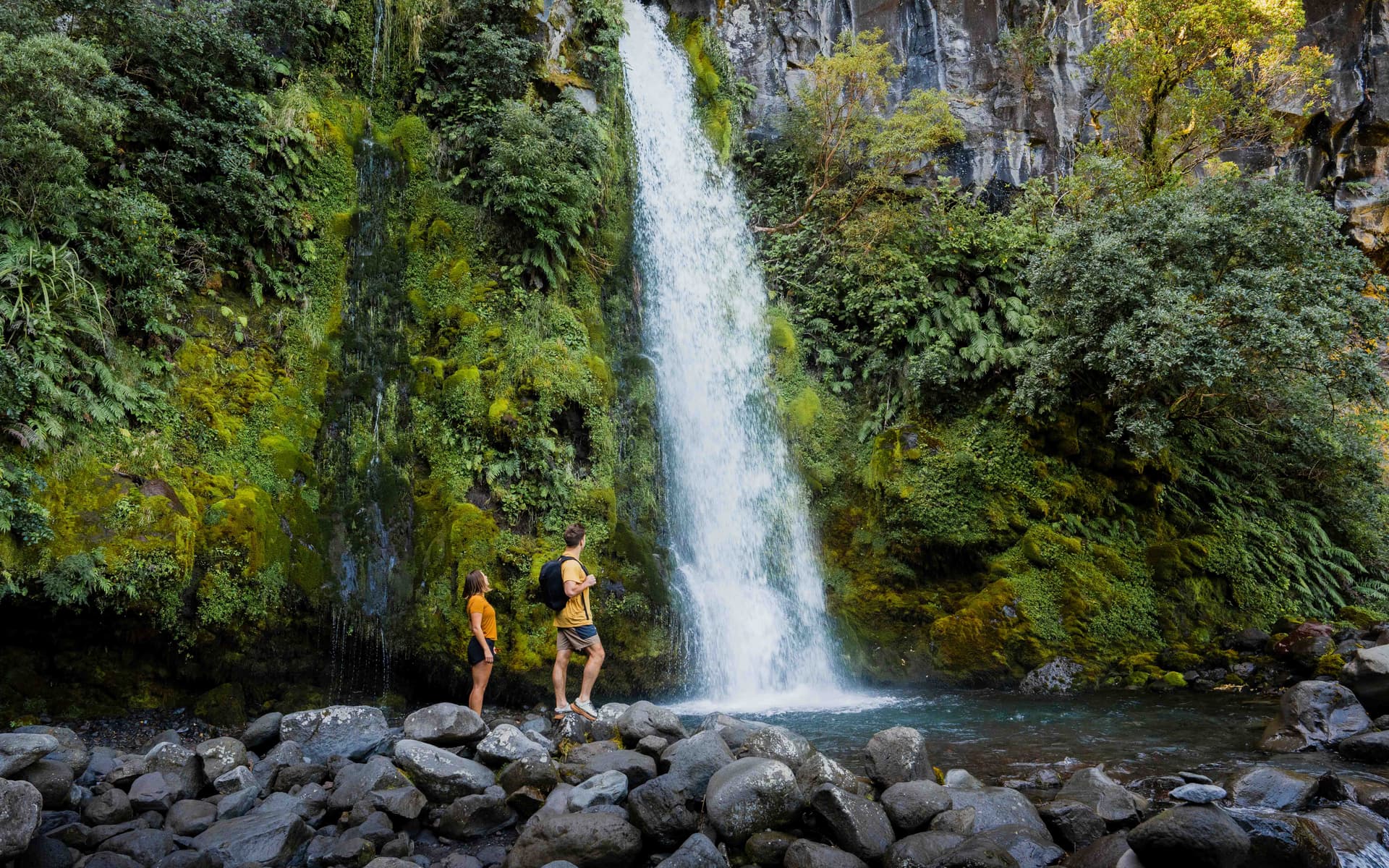
          This 250m one way track is an easy walk down a series of steps. Walk to the lookout point or the base of Dawson Falls/ Te Rere o Noke in Egmont National Park.

          Region
          Huatoki Walkway
          Walks & Trails

          Huatoki Walkway

          The 5km walkway follows the meandering Huatoki Stream from the city foreshore, winding through the city, parks, native bush and surrounding suburbs.

          Huatoki Walkway, New Plymouth
          Kamahi Loop Track ('Goblin Forest')
          Walks & Trails

          Kamahi Loop Track ('Goblin Forest')

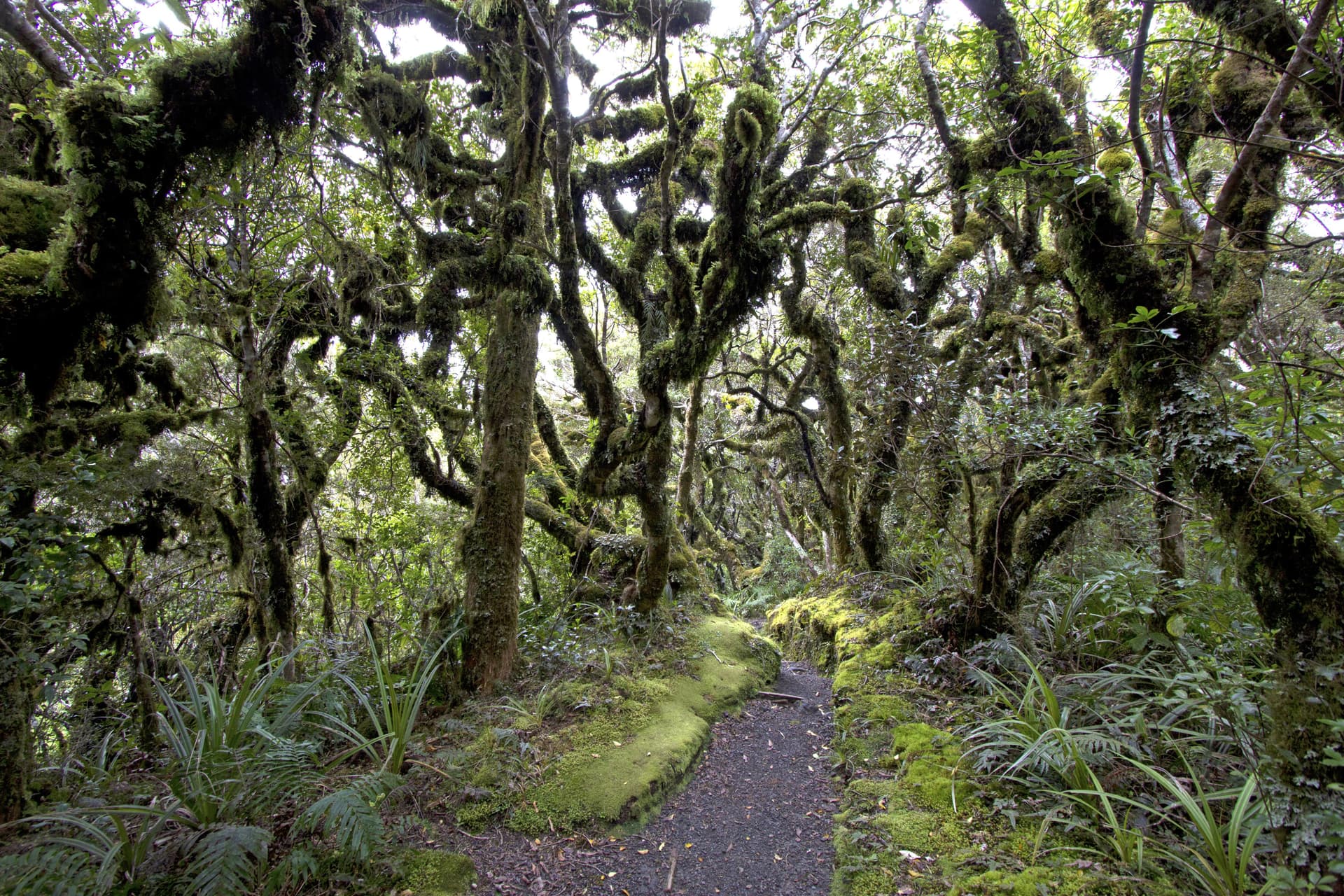
          Kamahi Loop Track, also known as Goblin Forest, is a magical walk through moss-draped trees and lush native bush on Taranaki Maunga, offering an enchanting rainforest experience for all ages.

          998 Pembroke Road West, Stratford, Egmont National Park
          Kapuni Loop Track
          Walks & Trails

          Kapuni Loop Track

          A pleasant drive to 900m above sea level on Taranaki Maunga/Mount Taranaki's south-eastern slopes brings you to the Dawson Falls road-end. This is the starting point for many walks on this side of the mountain. The Kapuni Loop track meanders its way down the right bank of the Kapuni River where alpine plant species can be found out of their vegetation zone due to water- and wind-borne seed distribution. Witness the river carving its way down the ancient lava flows to Dawson Falls/Te Rere o Noke.

          Lake Rotomanu
          Walks & Trails

          Lake Rotomanu

          Lake Rotomanu is a popular spot for watersports, walking and picnics.

          Clemow Road, Fitzroy, New Plymouth
          Lake Rotorangi Walkway
          Walks & Trails

          Lake Rotorangi Walkway

          This is an attractive, short (1.5km) lakeside loop-walk located at the southern end of Lake Rotorangi. The walkway crosses the 82m-high Pātea dam and through virgin bush filled with tawa and hīnau. A feature of the walkway is a grove of black beech or tawhairauriki, which flower in a burst of brilliant red in October and November. The campground located by the dam offers toilet facilities, showers, and tent sites.

          Patea Dam, Hurleyville
          View All Places