Turn left 100m up the track from the park boundary. On approaching the crusher site take a two-minute detour to visit the site of the bunk houses and cottages.
Return and walk past the old crusher site where the massive retaining wall remains. It was part of the building that housed the crushing machine and other works.
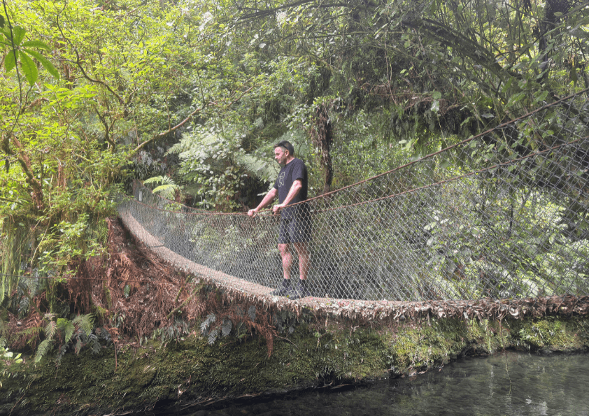
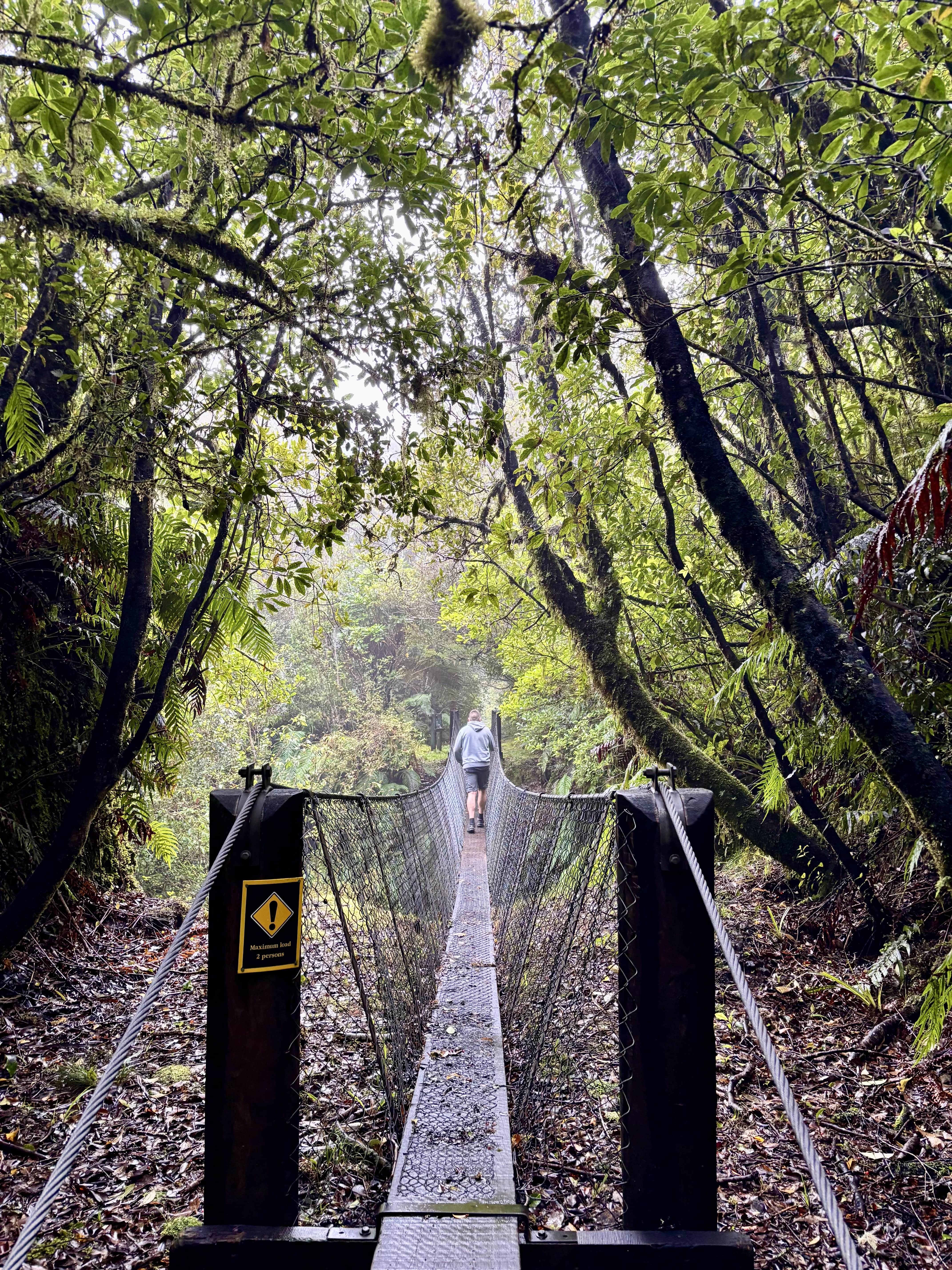
Continue over the footbridge and follow the old railway embankments and water pipeline to view the sand trap. On the way, you’ll see the rusting remains of the old waterline. The sand trap is still semi-operational; some of the old valves are still visible.
A little further on, the first side-track on your left takes in the river quarry where line segments are still visible.
The second side-track takes you part way to the middle quarry, which was closed after flooding. A large pile of spoiled rock can still be found there.
Return to the fork, turn left and continue to the footbridge and a large clearing known as the Foot Station. You’ll pass old water flumes and culverts along the way. The foot station was the end of the railway line and the clearing was once a rail yard.
The track returns to the starting point via the old service road.