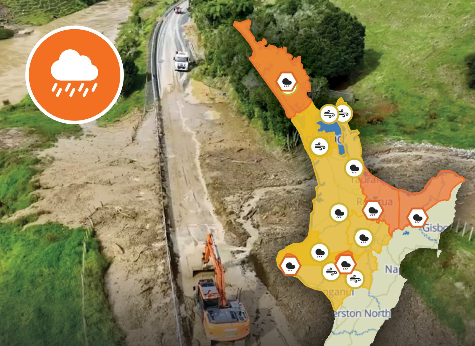

🟠⚠️ Here are all the warnings and watches covering Taranaki and Awakino:
Heavy Rain Warning - Orange
Period: 23hrs from 9am Mon, 1 Jun - 8am Tue, 2 Jun
Area: Taranaki Maunga
Forecast: On top of what has already fallen, expect 250 to 350 mm of rain. Peak rates of 15 to 25 mm/h, but 25 to 40 mm/h possible in localised downpours Tuesday morning. Low chance of upgrading to a Red Warning.
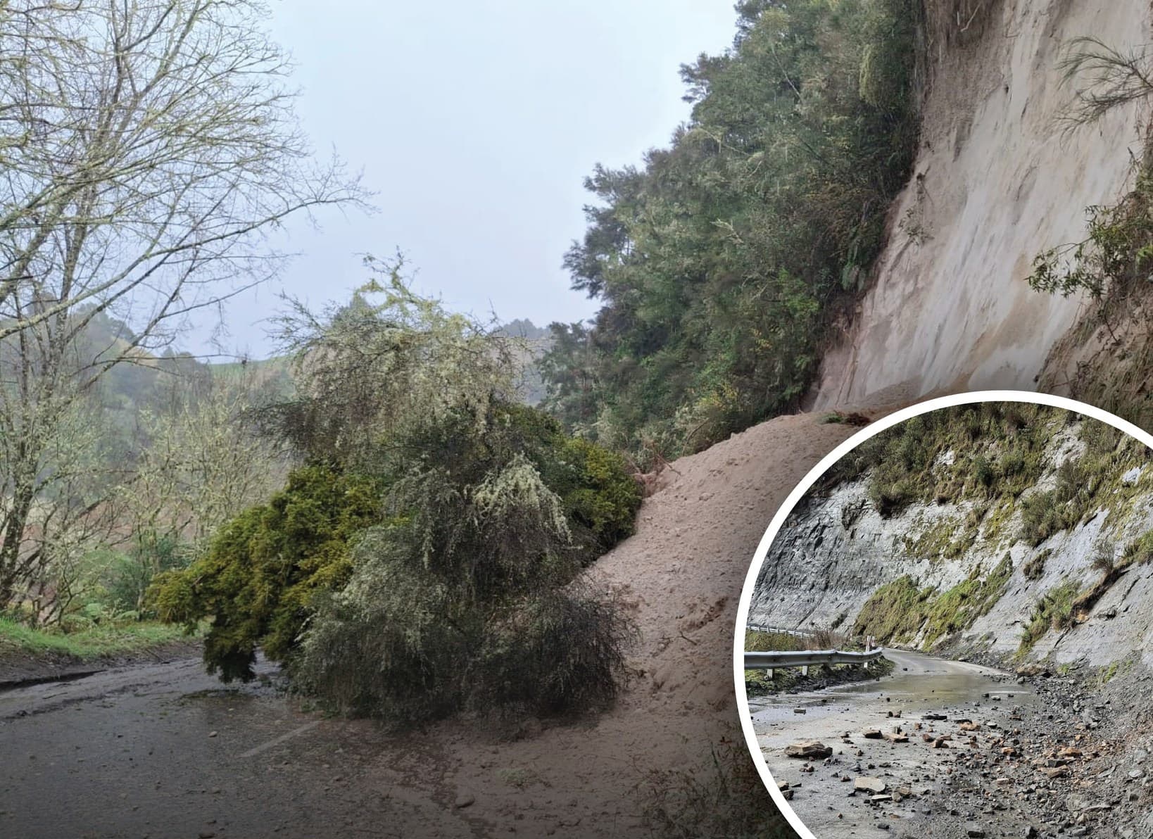
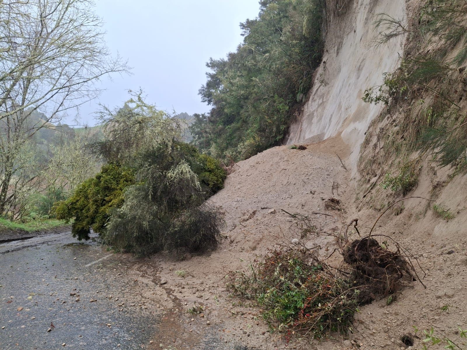
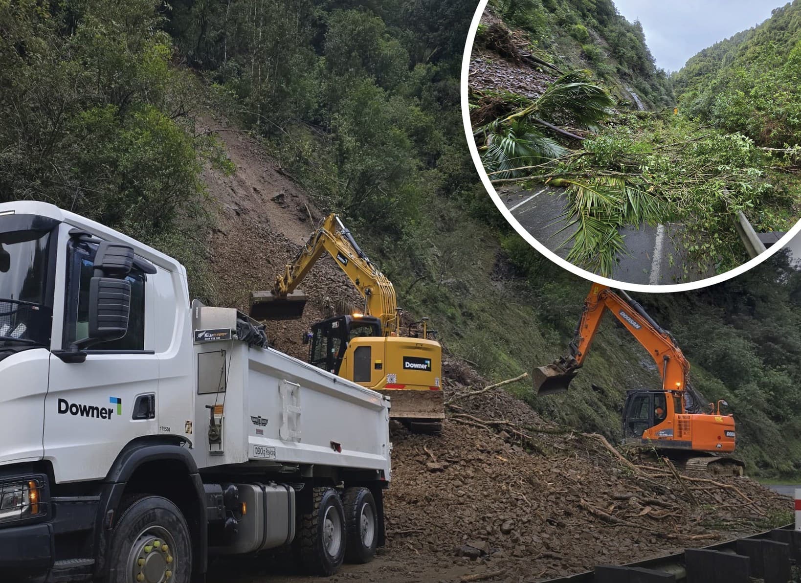
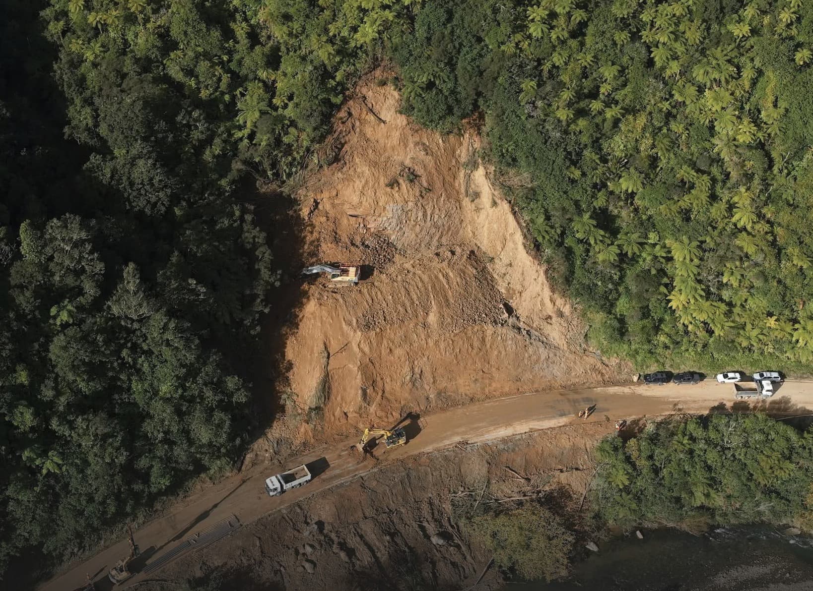
Impact: Streams and rivers may rise rapidly. Surface flooding, slips, and difficult driving conditions possible.
Action: Clear your drains and gutters to prepare for heavy rain. Avoid low-lying areas and drive cautiously. Preparedness advice.
Issued: 10:00am Mon 1 Jun
Next update: 9:00pm Mon 1 Jun
-----
Heavy Rain Watch
Period: 11hrs from 9pm Mon, 1 Jun - 8am Tue, 2 Jun
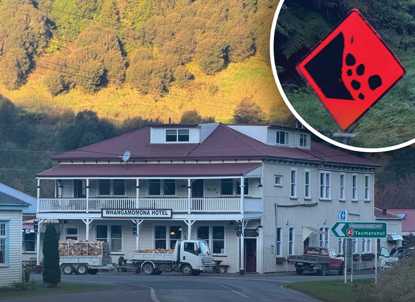
Area: Taranaki north of Eltham away from the mountain, and northern Whanganui hill country
Forecast: Periods of heavy rain, and amounts may approach warning criteria. Localised downpours possible Tuesday morning. Moderate chance of upgrading to a Warning.
Issued: 10:00am Mon 1 Jun
Next update: 9:00pm Mon 1 Jun
-----
Strong Wind Watch
Period: 11hrs from 3pm Mon, 1 Jun - 2am Tue, 2 Jun
Area: Taranaki and Whanganui
Forecast: Northeast winds may approach severe gale in exposed places. Moderate chance of upgrading to a Warning.
Issued: 10:00am Mon 1 Jun
Next update: 9:00pm Mon 1 Jun
-----
Heavy Rain Watch
Period: 10hrs from midnight Mon, 1 Jun - 10am Tue, 2 Jun
Area: Waikato, Waitomo, Taumarunui and Taihape north of Raetihi and west of Tongariro National Park
Forecast: Periods of heavy rain, with localised downpours possible. Amounts may approach warning criteria. Moderate chance of upgrading to a Warning.
Issued: 10:00am Mon 1 Jun
Next update: 9:00pm Mon 1 Jun