
Zero Deaths, Zero injuries: Taranaki's Remarkable Earthquake Record. And Why?
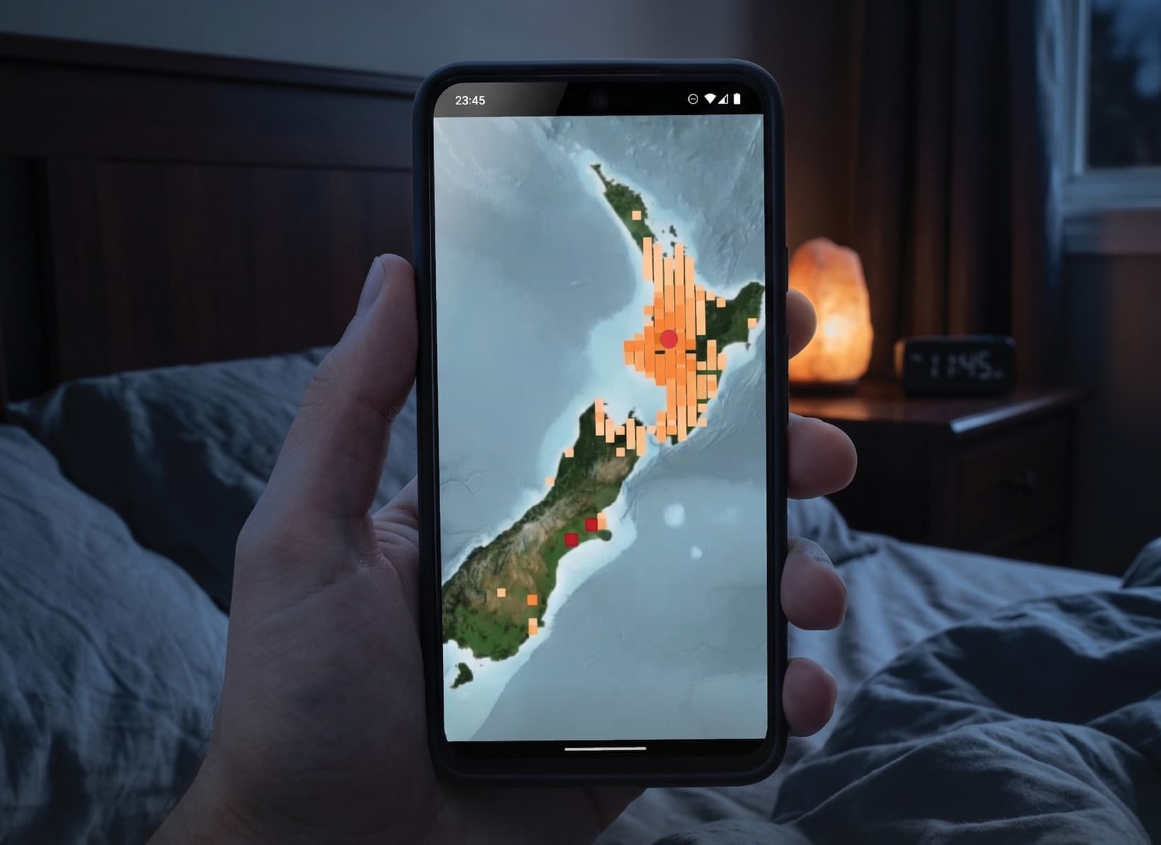
Did you feel the late night earthquake last night?
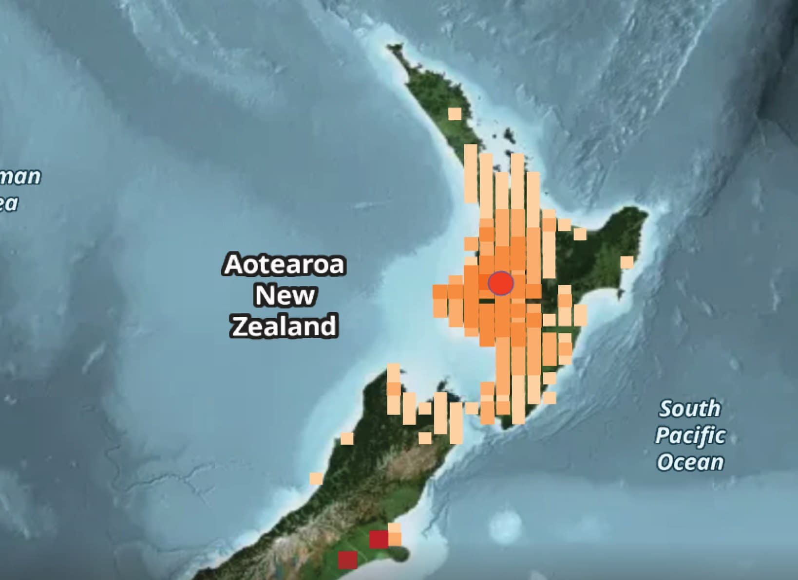
A late-night earthquake near Arthur's Pass was a reminder that New Zealand is never far from a shake. The magnitude 5.7 tremor, recorded at a shallow depth of five kilometres, was felt across parts of the South Island and lower North Island.
It followed a smaller magnitude 4.0 earthquake south-west of Opunake, classified by GeoNet as weak.
We've had some big shakes beneath our feet, including one powerful enough to bring down chimneys in early New Plymouth. But remarkably, Taranaki's major recorded earthquakes have caused no reported loss of life.
How earthquake-prone is our region, and just how fortunate have we been?
New Zealand is one of the more seismically active countries in the world. GeoNet locates between 50 and 80 earthquakes every day, or around 20,000 annually. Most are too small to be felt, although approximately 150 to 250 are noticeable to people.
Looking at the bigger events, the long-term average is about 41 earthquakes measuring between magnitude 5.0 and 5.9 each year, almost two between 6.0 and 6.9, and one magnitude 7 earthquake every four years.
That's a lot of activity beneath our feet.
Yet the vast majority of these earthquakes cause no loss of life. More commonly, the consequences are cracked chimneys, damaged plaster, broken household items and, occasionally, serious structural damage.
For homeowners, there can also be the added headache of insurance claims. New Zealand's Natural Hazards Commission Toka Tū Ake provides natural hazard cover for eligible residential properties, working alongside private insurers.
But while New Zealand has experienced some devastating earthquakes, Taranaki's historical record makes for interesting reading.
The big one that shook early New Plymouth
The strongest historically recorded earthquake in western Taranaki struck on New Year's Day in 1853.
Estimated at magnitude 6.8, it caused considerable damage to the fledgling settlement of New Plymouth.
Chimneys came crashing down, brick and stone walls cracked, buildings were damaged and residents fled into the streets.
The earthquake was reportedly felt over a considerable distance, with even a ship near Cape Farewell affected.
However, there is a remarkable piece of local history attached to the event.
The Taranaki Herald of January 5, 1853, carried a report headed simply "Earthquake in New Plymouth".
Despite the damage and several narrow escapes, the newspaper reported: "no injury to life or limb occurred".
In other words, an earthquake powerful enough to damage buildings across the settlement resulted in no reported casualties.
It is a fascinating glimpse into Taranaki's early history, and a story worth remembering.
The 1974 Opunake earthquake
More than 120 years later, Taranaki experienced another substantial earthquake.
On November 5, 1974, a magnitude 6.0 to 6.1 earthquake struck offshore, approximately 35 kilometres west of Opunake.
It was felt across a large part of central New Zealand and caused considerable alarm in South Taranaki.
Chimneys and plaster were damaged, water tanks shifted and goods were thrown from shop shelves in New Plymouth and Hawera.
It was a significant reminder that Taranaki was certainly not immune to earthquakes.
Yet, once again, the consequences were largely confined to property damage, with no reported deaths or injuries.
Don't mistake good fortune for a lack of risk
There is another side to Taranaki's earthquake story.
While our region sits some distance west of the main collision zone between the Australian and Pacific tectonic plates, GNS Science recognises a number of active faults both onshore and offshore.
These include the Inglewood, Norfolk, Oaonui, Kina, Ihaia and Kiri faults, as well as the offshore Cape Egmont Fault.
Some of these faults move extremely slowly, with movement generally measured in fractions of a millimetre each year.
But slow movement doesn't mean there is no danger.
Research into the Inglewood Fault has identified evidence of three prehistoric earthquakes during the past 13,000 years. Scientists estimate those events may have reached magnitudes between 6.7 and 7.2.
That is potentially a very powerful earthquake, and the fault is only about 15 kilometres from New Plymouth.
These events happened long before written records, but they provide an important reminder that Taranaki has the geological ingredients for a major earthquake.
New Zealand's sobering earthquake history
According to Te Ara, the Encyclopedia of New Zealand, earthquakes caused 501 deaths between 1840 and 2016.
The greatest loss of life occurred in the 1931 Hawke's Bay earthquake, which killed 256 people. The February 2011 Christchurch earthquake claimed another 185 lives, while the 1929 Murchison earthquake killed 17.
Against that background, Taranaki's historical record is reassuring.
However, it is not a guarantee about the future.
The practical advice is much the same as anywhere else in New Zealand. Secure heavy furniture and appliances, have an emergency plan, and know your evacuation routes if you live in a coastal tsunami evacuation area.
And if an earthquake strikes, remember the simple message: Drop, Cover and Hold.
Taranaki has been fortunate. Our major documented historical earthquakes have caused damage, frightened residents and shaken buildings, but have not produced the tragic loss of life experienced elsewhere in the country.
It is a remarkable record for a region with active geological faults beneath and around it.
But perhaps the biggest lesson is that we should never confuse good fortune with being earthquake-proof.
Do you remember the 1974 Opunake earthquake? Were you living in the region at the time? And did you feel the recent tremors? We'd love to hear your experiences and memories.